

I didn't take a shot of the spot that stopped me along the road, but as you can see it's in pretty good shape past the washed out portion that is likely perfectly passable in better conditions (non-muddy and if the road actually does still exist at that spot). You can see Tres Alamos ahead, the high point left of center.
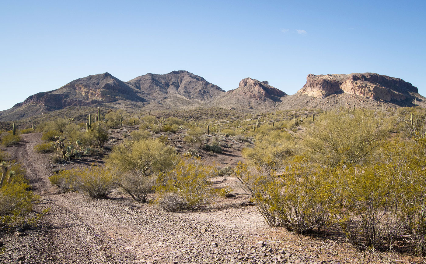
Toward the end of the road, Tres Alamos seen ahead. The high point is on the left.
The western peak of Tres Alamos is seen center. It has a colorful cliff face, but the peak would have been too much effort for the amount of time I had today. So, to the high point I'd go!
Ascending the cactusy slope toward the high point, seen ahead. On the ascent, I ascended to the saddle on the left. On the descent, I came from the summit more directly.
Ascending to the saddle.
Class 2 at points, but mostly just a slope.
On the ridge, heading to the summit of Tres Alamos.
Steep slope/ridge.
Rocky Class 2 along the crest.
View back at the saddle as I ascend. My car is top left somewhere in the desert.
Tres Alamos ahead.
Class 2 to the summit.
Summit of Tres Alamos, view back along the ridge. I ascended from the center of this photo.
Tres Alamos summit, view northwest.
Close-up toward the westernmost Tres Alamos peak and its cliffy face.
View north.
Hire me or show me some love!
Hire/refer me as a web developer or send me a few bucks if you find my site useful. I’m not sponsored, so all fees are out-of-pocket and my time preparing trip reports is unpaid. I really appreciate it!