

Starting from the trailhead along a trail that lasted all of 50 feet. Garden Benchmark seen top left.
We left the main wash and headed south through this side-drainage.
Some cool sections within the drainage.
We ascended Class 2 to the notch seen center.
Class 3 move to overcome a small cliff band at the notch.
Class 2 along the rim.
View back toward the notch (right).
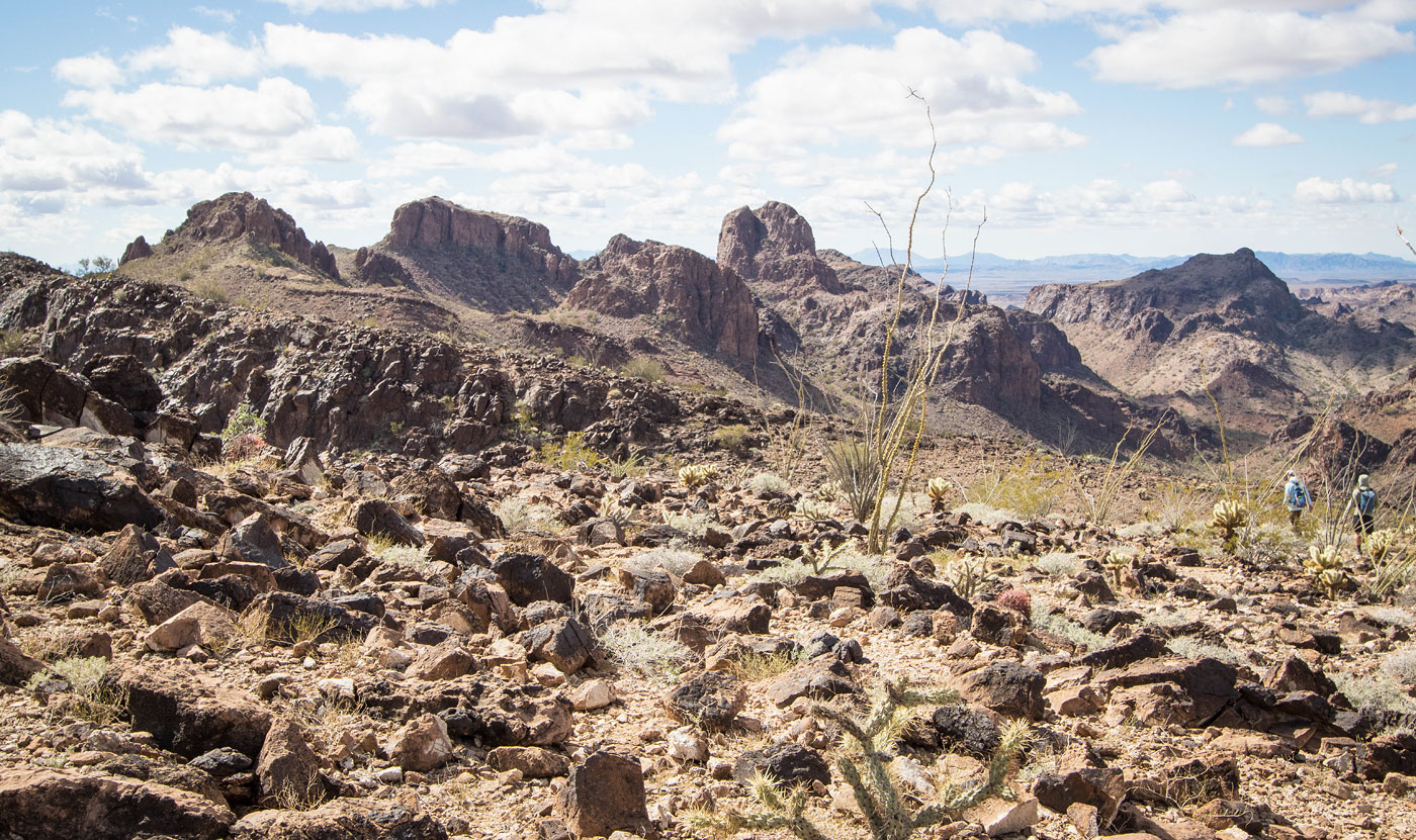
Our peaks poking out in the distance as we make our way to Garden Benchmark.
Garden Benchmark ahead on the left, some lumps along the way. Thumb Peak seen right.
Garden Benchmark summit ahead.
View back along the rim. The trailhead is left of center somewhere in that major wash.
Descending from Garden Benchmark, initially along the ridgeline.
Rather than stick to the ridgeline, we dropped left of center in this photo into the drainage.
Class 2 and some brush as we drop.
Mostly okay, but it was more navigating and brush than we thought. Maybe sticking to the ridge would have been better?
View back toward Garden Benchmark (obscured) as we make our way through the lumpy terrain and back to the ridgeline.
Back on the ridgeline, continuing south.
We reached this rim and saw our peaks ahead (left).
Cool unranked peaks to the west.
Looking for a spot to descend from the rim.
Class 2/3 down into the little valley below. Peak 2184 (our next peak) seen right of center, Peak 2210 left of center, and Peak 2443 center top.
View back at the Class 2/3 descent from the rim.
After hiking through the little valley, we headed up Class 2 using this slope to gain the north ridge of Peak 2184, seen ahead.
Along the ridgeline, very chill at first.
I chose to ascend Peak 2184 via the brushy Class 2 slope on the left. My friends stayed high on Class 3/4.
Class 2 not super fun slope.
I reached the ridge crest again, view back at friends on the Class 3/4 stuff after I did a short required Class 3 section.
View back along the ridge.
Easiest access around the summit block of Peak 2184 is on its south side. Summit seen ahead.
View toward our last peak of the day, Peak 2438.
Peak 2184 summit, view toward Peak 2443.
View back toward Peak 2184 as we start up Peak 2210 on the opposite side of the little valley.
Pretty ridgeline, Peak 2210 seen right of center.
Wrapping to the right around its cliffy summit block.
Class 3 to gain the summit.
Peak 2210 summit, Peak 2443 seen left of center (the next peak). And Peak 2438 seen in the distance on the right.
We dropped off Peak 2210 and followed a slickrock ridge to get to the base of Peak 2443, seen ahead.
View back toward Peak 2210, which had a cool arch near its summit.
Gully at the base of Peak 2443.
View back as we start up the Class 2. Peak 2184's cool cliffs seen in the center.
Class 2 using a slope to the right of the summit cluster.
Class 2+ dihedral move.
Summit of Peak 2443 ahead.
Peak 2443 summit, view toward Thumb Peak, Castle Dome Peak, and the crazy landscape separating us.
We dropped west through a Class 2 gully after descending from Peak 2443.
View back toward the Class 2 gully.
Class 2+ into a deeper drainage. We navigated some lumpy hills and continued southwest.
Base of Peak 2184 seen top right. It had some light-colored cool pinnacles.
Peak 2438 comes fully into view (left).
View back toward Peak 2184's cool pinnacles and the landscape we just hiked through.
An old mining road to the base of Peak 2438.
Class 2 slope (leading diagonally to the top right).
Class 2 on a slanted slope.
View back at our progress up Peak 2438.
At the summit ridge, Class 2/2+ possible, but Class 3 was more fun and the rock was solid.
Scrambling along the ridgeline.
View back at the scrambling. The Class 2 slope we came up earlier is seen on the right.
Peak 2438 summit, view north toward the wash we're heading down to in order to get back. Garden Benchmark seen top right.
View back toward Peak 2438.
Ascending a gradual wash.
It was a lot of miles that sort of just looked like this.
We reached a wide saddle ad got a view of the original wash we hiked in on. Some Class 2 and an animal trail got us down there, and then we just took that wash back to the trailhead.
Hire me or show me some love!
Hire/refer me as a web developer or send me a few bucks if you find my site useful. I’m not sponsored, so all fees are out-of-pocket and my time preparing trip reports is unpaid. I really appreciate it!