I provide a free route map, but you can also download a hike/drive GPX to assist you and to help support my site. Before sharing my GPX tracks with others, please remember my site is a free resource and I'm charging nominal fees to offset my substantial costs.
GPX track added to your cart.
Jul 19, 2022 — Located on the northern end of Utah's Sevier Plateau, Glenwood Mountain gets very little attention, mostly because it's overshadowed by its more prominent neighbor Monroe Peak. While Monroe Peak is a drive-up for any vehicle, Glenwood Mountain requires a bit of hiking. The peak is a worthy objective for the views and for the solitude. Getting to the trailhead requires driving along a good dirt road for miles. Glenwood Mountain is possibly more commonly known as Signal Peak, since it's labeled as such on maps and on signage along the trail, but the general summit area is labeled as Glenwood Mountain. I decided to stick with calling this peak Glenwood Mountain on my trip report for no other reason except that there are a million Signal Peaks and it's nice to have some naming variety.
I chose to take the Whooton Spring Trail, which has what seems to be a relatively newly-placed sign. However, despite the sign, the trail is hard to follow initially. I stacked a couple of cairns leading directly up the slope from the trailhead where after about 50 feet I was on the trail, surprisingly recently cleared. In fact, the main reason I was able to stick to the trail consistently was because of the presence of obvious deadfall cuts. Thanks to whoever put in the effort, since there sure were a lot of downed trees that would have otherwise been pretty tedious.
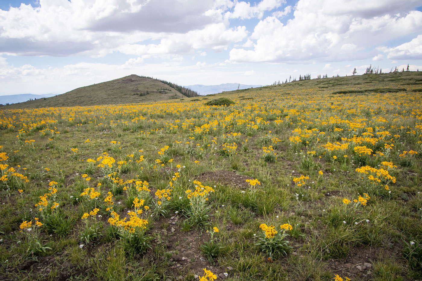
The trail led through the forest and entered an occasional small meadow, where I was fortunate to encounter incredible wildflowers. Heading generally west, the trail continued to be pretty straightforward as it entered a shallow basin and the wide ridgeline of Glenwood Mountain came into view. At around 11000', it was clear that animals have created false trails, as well as there being some misplaced cairns that lead away from the proper trail. This isn't too big of a problem though since the trail actually continues south, while I wanted to just keep ascending west anyway. Leaving the confusing trail here made sense, so I started up the slope (probably not even Class 2) and made it to the southern ridge of Glenwood Mountain. Here there were no trees and the sweeping views were very welcoming. I headed northwest and the peak came into view, an amazing wildflower field separating us.
After a half mile or so of enoying the open landscape and colorful flowers along the way, I got to the base of Glenwood Mountain and started up the very light Class 2 ridge to reach the summit. I could see the southern Sevier Plateau, the Tushar Mountains, and plenty of other central Utah peaks.
Please consider helping me out if you find my site useful. I'm not sponsored, so all site fees are out-of-pocket and my time preparing these trip reports is unpaid. You can also hire me as a web developer. I really appreciate it!


If you find my site helpful, please help me replace my many broken cameras, fund my website fees (hosting, APIs, security), or just support my countless hours of work. I pay for all expenses myself, and all trip reports I post are unpaid and unsponsored, so any support is really appreciated!
If using PayPal, please select their option for "Sending to a friend" so they don't take out fees, thank you.
My site is free to use, but consider sending me a few bucks to help keep it running. Thanks in advance!