

View back toward Skyline Drive, my car at the end of the spur road.
I headed through forest and clearings along the nice trail.
View back toward the little cluster of trees I came through.
Ascending to the ridgeline ahead.
View back as I reach the ridge crest.
On the ridgeline, looking back. My car is somewhere in the center of this photo.
Musinia Peak comes into view ahead.
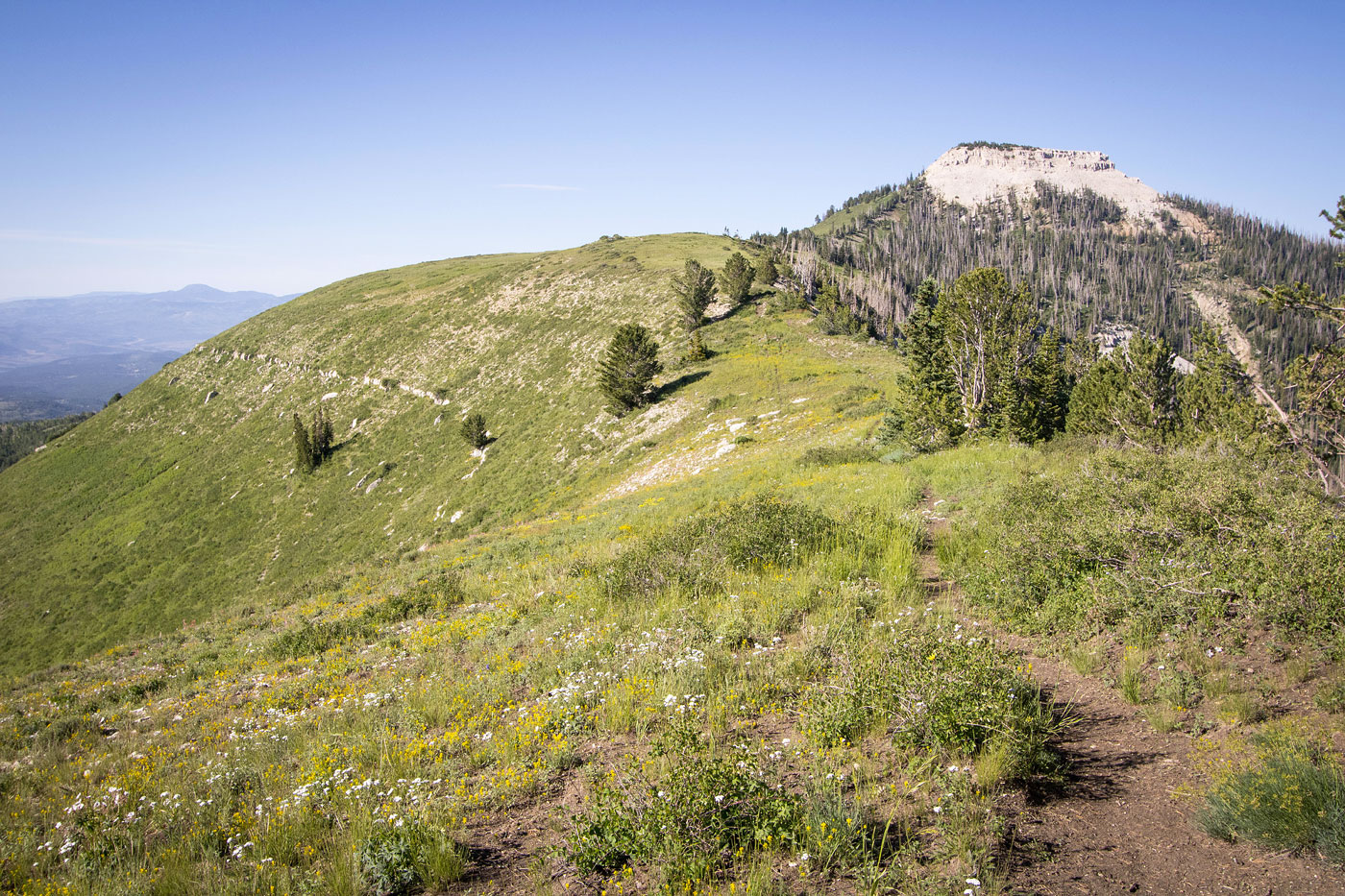
Continuing south along the ridge crest.
View back at my progress along the ridgeline, excellent views in all directions.
Musinia Peak ahead.
Lots of wildflowers along the way.
Approaching the base of Musinia Peak.
View back as I start up more steeply to the base.
Short section of scree to reach a cliff band.
An initial crack to scramble though.
View back at the base of the crack.
I then headed to the right and reached this Class 2+ obstacle.
View back at the cliff band Class 2+ obstacle (left). You can see the steep scree slope I ascended on the top right.
Musinia Peak summit.
View north.
A cool feature just northwest of the summit, view back toward the peak.
Hire me or show me some love!
Hire/refer me as a web developer or send me a few bucks if you find my site useful. I’m not sponsored, so all fees are out-of-pocket and my time preparing trip reports is unpaid. I really appreciate it!