I provide a free route map, but you can also download a hike/drive GPX to assist you and to help support my site. Before sharing my GPX tracks with others, please remember my site is a free resource and I'm charging nominal fees to offset my substantial costs.
GPX track added to your cart.
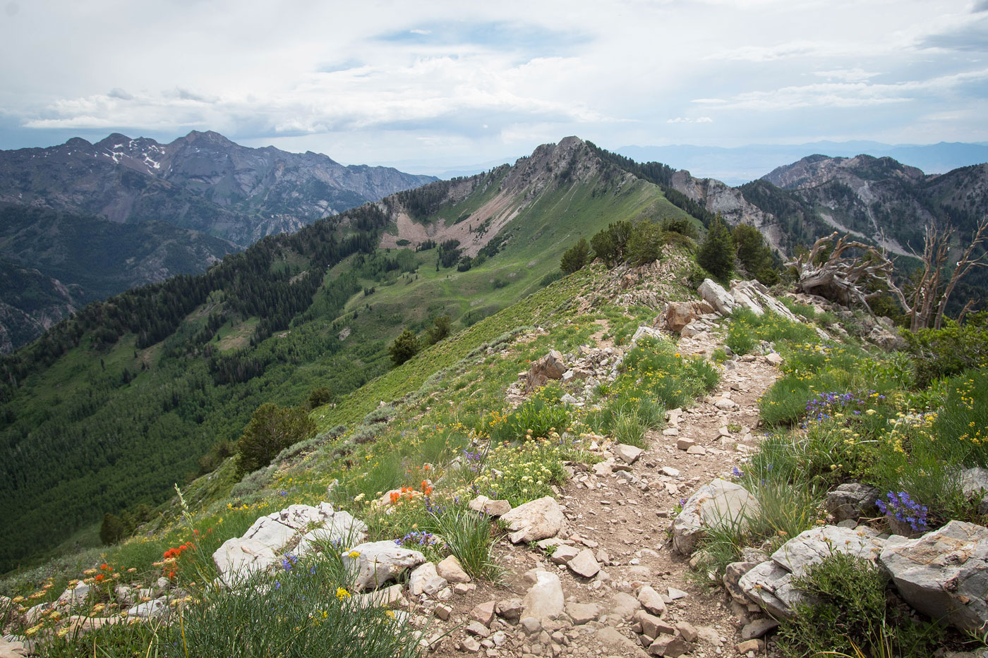
Jun 30, 2021 — We parked at the Butler Fork Trailhead and headed north on the wonderfully maintained Butler Fork Trail, which was kept a very moderate great due to switchbacks, with one short exception. We kept left at a junction (right leads to Dog Lake) and continued west. The trail switchbacked through aspens and wrapped around the southern base of Gobblers Knob before reaching the saddle separating Mount Raymond from Gobblers Knob, Baker Pass. From here a steep trail led to the false summit of Gobblers Knob, and then the short distance brought us to the true summit. We returned the way we came. As you'll see in photos below, we lucked out and the wildflowers were gorgeous.
Please consider helping me out if you find my site useful. I'm not sponsored, so all site fees are out-of-pocket and my time preparing these trip reports is unpaid. You can also hire me as a web developer. I really appreciate it!


If you find my site helpful, please help me replace my many broken cameras, fund my website fees (hosting, APIs, security), or just support my countless hours of work. I pay for all expenses myself, and all trip reports I post are unpaid and unsponsored, so any support is really appreciated!
If using PayPal, please select their option for "Sending to a friend" so they don't take out fees, thank you.
My site is free to use, but consider sending me a few bucks to help keep it running. Thanks in advance!