I provide a free route map, but you can also download a hike/drive GPX to assist you and to help support my site. Before sharing my GPX tracks with others, please remember my site is a free resource and I'm charging nominal fees to offset my substantial costs.
GPX track added to your cart.
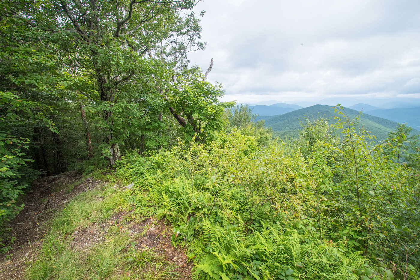
Jul 21, 2021 — The hike to Grass Mountain is nice mostly due to its solitude. It follows a road unsuitable for driving my rental sedan, and I'm not sure it's even legal to drive up. So I parked on the side of the main road and headed up by foot. Along the way I passed two residences. At the first major junction I kept to the right and continued ascending. No trespessing signs marked the left side of the road as private property, but I had no issues or potential trespassing issues along the route. The road stuck to the ridge crest, and although there are a few confusing options, I recommend just staying along the ridge and it shouldn't be an issue to stay on route.
The hike up the northwest ridge of Grass Mountain was a lot nicer than the first bit, the old roadbed now more of a trail. There was a memorial with a nice viewpoint along the way. The summit area of Grass Mountain had a small grassy area and no views, and the true high point was a few feet to the south, a short and easy bushwhack.
Please consider helping me out if you find my site useful. I'm not sponsored, so all site fees are out-of-pocket and my time preparing these trip reports is unpaid. You can also hire me as a web developer. I really appreciate it!


If you find my site helpful, please help me replace my many broken cameras, fund my website fees (hosting, APIs, security), or just support my countless hours of work. I pay for all expenses myself, and all trip reports I post are unpaid and unsponsored, so any support is really appreciated!
If using PayPal, please select their option for "Sending to a friend" so they don't take out fees, thank you.
My site is free to use, but consider sending me a few bucks to help keep it running. Thanks in advance!