I provide a free route map, but you can also download a hike/drive GPX to assist you and to help support my site. Before sharing my GPX tracks with others, please remember my site is a free resource and I'm charging nominal fees to offset my substantial costs.
GPX track added to your cart.
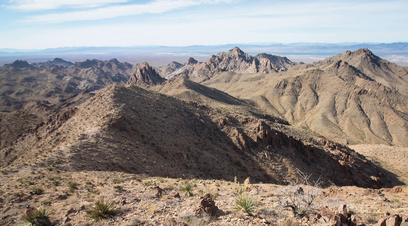
Feb 14, 2021 — Whiley and I started off our peakbagging trip with this nice loop in the Black Mountains, prompted by my ever-present obsession of the craggy peaks of this area. Cathedral Rock is a scary-looking Class 5 monolith that we wouldn't be attempting, but it served as a nice centerpoint for our loop and we got some interesting views of the rock formation as we made our way around it. The road to this trailhead was a little sandy and while 2WD would likely be fine, some might not want to risk it. 2WD parking here (35.08, -114.4551) would add around 1.5 miles round-trip.
We started walking south along a dirt road, leaving it after locating a nice Class 2 ascent slope to gain the main ridgeline. We continued on Class 2 terrain to Hardy Mountain, the only named peak of the day. We backtracked and continued along the ridge toward Peak 3020. Just below the peak was an artificial water catchment of some sort. The peak could easily be made Class 3 if ascending directly from its south or southwest sides, but wrapping around into a secret gully on its west side leads up Class 2 terrain to its summit. We descended this gully, unsure if the ridge would be cliffy, since it appeared to be so on a map. Looking back, the ridge likely would have been a better option.
We continued to Peak 3100, keeping left beneath its formidable cliffs and slogged up a short gully to a notch, allowing us to wrap around to its west side and summit from here on a pleasant slope. There was a Class 2+ move to gain the summit block. We decided to just head down the peak's northern slopes, which ended up being only Class 2 and a somewhat pleasant maze around rock ribs, not counting the loose rock and catclaw. Deciding to continue along the ridge for a bit rather than side-hill to reach our next object felt like the right idea, but we ultimately left it when continuing along the ridge seemed like it would be less efficient. A peek over toward our next objective, Peak 2940, didn't help us clarify a route since the drainages seemed to have dryfalls and the ridge ascent options weren't exactly solid-looking. We were pretty sure the southeast face was the most likely option for getting the peak, though. The slopes started Class 2 and quickly led to some interesting Class 2+/3 route-finding along some of the rocky ridges. While it did require some route-finding, we were able to locate a reasonable route without adding any additional hazards aside from loose Class 2 rock. I fixed up the mess on my attached map, but our ascent and descent were slightly different and both were fine. Once on higher ground just below Peak 2940, we scoped a cactus-filled traverse leading to a potential ramp beneath the nutty-looking cliff face that housed the summit. The Class 2+ ramp led on solid rock with some decent exposure to the a saddle separating the high point (northeast) and its lower point (southwest). We headed up some light Class 3 scrambling and foud ourselves on the right of two fins that comprised the summit. The right fin doesn't lead to the high point, so we dropped between the two fins and found a Class 3 move leading to a short slab. This peak was by far the most interesting of the loop, and the route was pretty interesting. We attempted a route down on the east ridge, but were cliffed out. I recommend returning generally the same way you ascended. Once down from Peak 2940, we made our way to a minor saddle to the north and descended to a road, which we navigated back to our cars.
Please consider helping me out if you find my site useful. I'm not sponsored, so all site fees are out-of-pocket and my time preparing these trip reports is unpaid. You can also hire me as a web developer. I really appreciate it!


If you find my site helpful, please help me replace my many broken cameras, fund my website fees (hosting, APIs, security), or just support my countless hours of work. I pay for all expenses myself, and all trip reports I post are unpaid and unsponsored, so any support is really appreciated!
If using PayPal, please select their option for "Sending to a friend" so they don't take out fees, thank you.
My site is free to use, but consider sending me a few bucks to help keep it running. Thanks in advance!