

Tule Spring Peak from our parking spot.
Approaching the Class 2 summit of Tule Spring Peak.
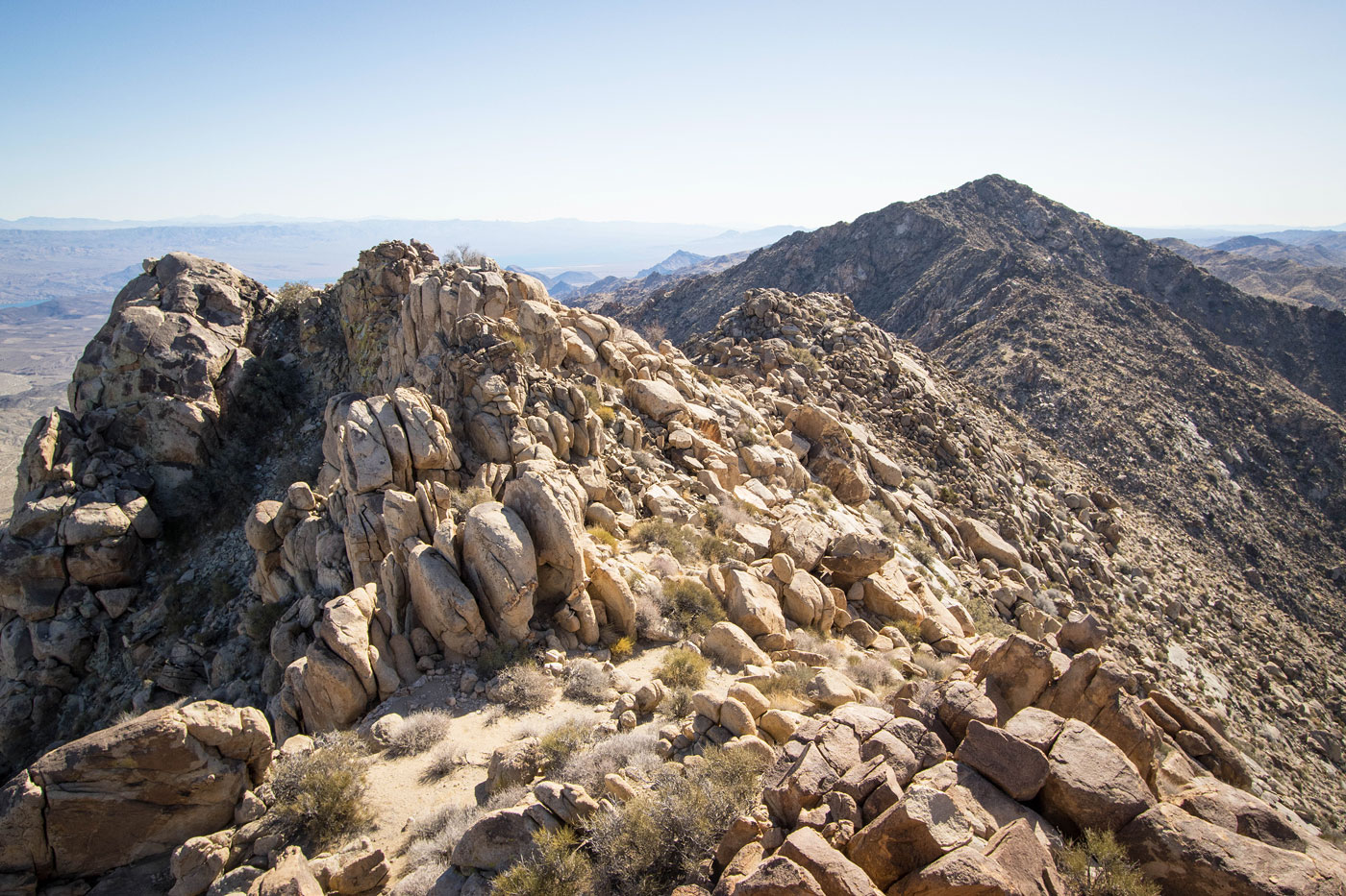
Tule Spring Peak, view north toward the Eldorado Wilderness.
Tule Spring Peak, view east toward Aztec Mountain and friends.
Tule Spring Peak, view toward the Ireteba Peaks Traverse to come.
Back at the trailhead, onward toward Ireteba Peaks North, hidden by a false summit seen ahead.
View back toward Tule Spring Peak as we ascend the first sandy slope.
Progress up the initial slopes.
Some Class 2.
We decided to side-hill around the false summit (out of frame on the left). Ireteba Peaks North and Peak 5030 seen ahead.
View back at the brief side-hill.
Progress toward Ireteba Peaks North.
Class 2 up Ireteba Peaks North.
Ireteba Peaks North, view back along the ridgeline.
View east toward the Colorado River.
Onward, Peak 5030 seen ahead.
Some Class 2 coming down from Ireteba Peaks North.
Pretty granite along the ridgeline.
Descent to the saddle with Peak 5030.
More Class 2 as we ascend, Ireteba Peaks North seen behind on the left. The section between these two peaks we found to be the most tedious.
Peak 5030 ahead.
Peak 5030, view back.
Ireteba Peaks High Point seen ahead.
Some Class 2, then a quick descent from Peak 5030.
Onward over lumpy terrain.
View back toward Peak 5030.
Another lump along the way.
Continuing down to the saddle north of Ireteba Peaks High Point.
Ireteba Peaks High Point ahead.
The final ascent to Ireteba Peaks High Point. Here is where the standard approach for the peak joins in from the right.
Steep slope toward the summit.
Class 2+ move to gain the summit block.
Ireteba Peaks South ahead.
A couple of lumps seen ahead along the way.
A bit more scrambling than we anticipated when coming down from Ireteba Peaks High Point.
First lump ahead. We ascended to nearly its summit, but bypassed on the right.
Continuing to another lump along the ridgeline.
Ireteba Peaks South ahead, Austin seen bottom center for size reference.
View back. We'd be returning along this section later to reach our descent choice from the crest later.
Wider shot back just below a false summit.
Ireteba Peaks South just ahead.
View south from Ireteba Peaks South.
After backtracking along the ridgeline, we descended using this mostly pleasant ridgey slope on the west side.
View back up at the ridgeline.
Another shot back, now within a wash below.
We headed north through mostly flat desert.
View back after miles of walking through the desert. You can see the Ireteba Peaks stretching out over there.
Wrapping around the northwestern foot of the little range.
And then we entered a pretty granitic boulder area.
We headed between the two rock monoliths ahead.
Pretty drainage between the monoliths. Past here we just sort of wandered toward the car through the granite boulders, which we spaced out enough that it wasn't a big deal.
Hire me or show me some love!
Hire/refer me as a web developer or send me a few bucks if you find my site useful. I’m not sponsored, so all fees are out-of-pocket and my time preparing trip reports is unpaid. I really appreciate it!