

At the end of Yaqui Wash Road. We headed through the wash.
Within Kofa Dam Wash.
Looking back, some minor Class 2 within the wash.
We left the main wash when we saw this side-drainage. You can see a dryfall on the left. We ascended to the right of it.
Kofa Dam comes into view on the left.
View into the area below Kofa Dam where there was a little bit of water and some old pipes.
At the base of Kofa Dam.
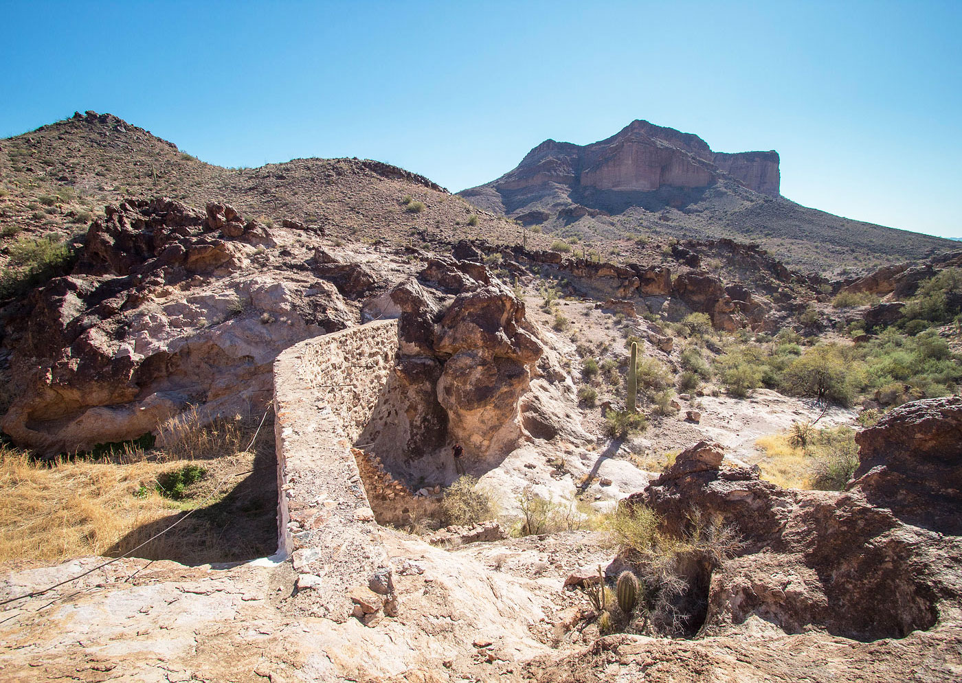
Kofa Dam, Kofa Butte in the distance.
Kofa Dam.
View back at Kofa Dam.
Ascending the high ground as we wrap around to the north side of Kofa Butte.
Ascending to Kofa Butte.
Kofa Butte ahead.
Mostly pleasant terrain.
View back as the terrain gets some boulders.
Polaris Mountain in the center. Kofa Butte's northern cliffs visible on the left.
Approaching the Class 2 portion of Kofa Butte. The route leads to the left of the cliffs above until reaching a weakness that's out of frame. Our more direct descent route we took later goes down in the bottom right of this photo.
Class 2 as we head up to the higher cliffs.
View back as we wrap around to Kofa Butte's northeast side.
Ascending traverse along the northwest side.
Wrapping around the peak's northeast side. Kofa Butte comes into view.
Almost at the flattish top of Kofa Butte after wrapping around the peak's northeast side.
We emerged to the flattish top. The high point is up there in the center somewhere. Also there was an obvious cairn to mark the spot to descend from the top on the way back.
View back as we continue along the top of Kofa Butte.
Approaching the inal uphill.
Class 2 max.
View back beneath some rock outcrops.
Approaching Kofa Butte's summit, a narrower section that leads to a pretty overloop.
Kofa Butte summit, view north.
False summit, view north.
After backtracking, this is the start of our more direct descent route. It was fine, but a little annoying and not as pretty as the ascent.
Descending back to Kofa Dam Wash.
View back toward Kofa Butt's northwestern cliffs.
Hire me or show me some love!
Hire/refer me as a web developer or send me a few bucks if you find my site useful. I’m not sponsored, so all fees are out-of-pocket and my time preparing trip reports is unpaid. I really appreciate it!