

From our parking spot, Polaris Mountain visible right and Peak 3480 (our last peak of the loop) visible left. There's a cool tower left of center that looks impossible. We dropped into the wash on the right.
Within the wash, headed to the base of Polaris Mountain.
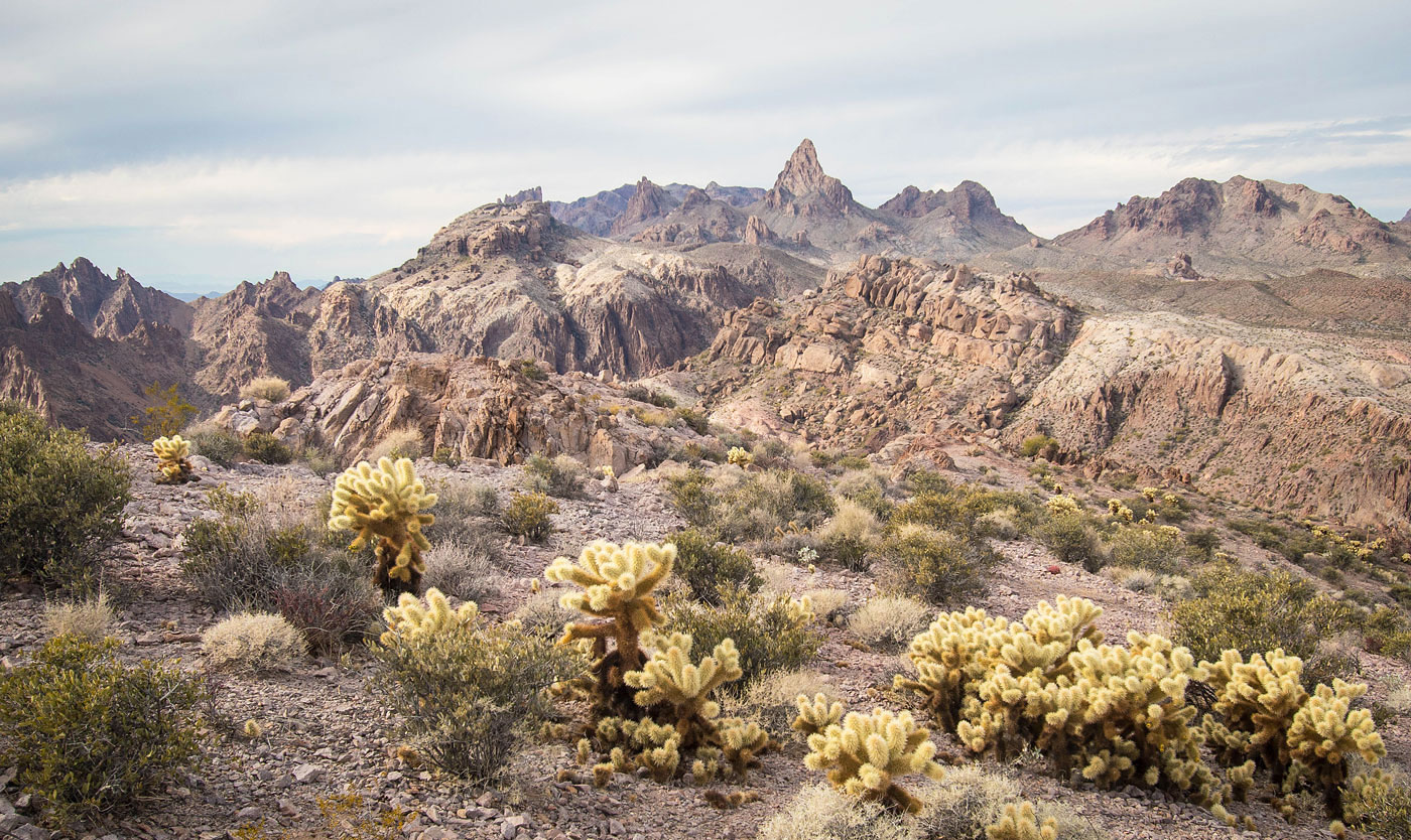
Starting up Polaris Mountain.
View back. You can see Peak 2820 left of center, an impressive tower that we couldn't find a way up. Our cars are far left in this photo hidden behind a lump.
Onward up Polaris Mountain. You can see an annoying short section of scree ahead.
Up the scree.
Past the scree, now on loose cactusy Class 2.
Class 2 to the summit.
Almost at Polaris Mountain.
Polaris Mountain, view back the way we came. Peak 3480 visible far right. Squaw and Signal are seen distant top right.
Polaris Mountain, view southeast toward Kofa Butte, center.
Onward along the ridgeline. You can see Peak 3639 top right, our next major objective.
View back at the descent from Polaris Mountain, steep Class 2.
Polaris Pinnacle seen left of center, Constellation Point right of center, and Peak 3639 top right.
Along the ridgeline, headed toward Peak 3639.
View back toward Polaris Mountain.
Matt pulling the Class 4 move up Polaris Pinnacle. I opted to not get this little pinnacle.
Constellation Point ahead.
Wide shot looking back on our way up Constellation Point.
View back toward Polaris Mountain and Polaris Pinnacle.
Looking down at the short Class 3 bit up the south side of Constellation Point.
Matt about to reach the summit of Constellation Point, right. Peak 3639 visible top left.
Onward to Peak 3639, view back toward Constellation Point. We wrapped around to the north side of Peak 3639.
Class 2 slope on the north side of Peak 3639.
View back at a fun Class 3 section on the way up Peak 3639.
Close-up at the final move to gain the summit ridge.
Peak 3639 summit, view back. Polaris Mountain top left, Hoodoo Peak out of frame on the top right, Peak 3480 center somewhere.
Close-up toward Kofa Butte.
We dropped off Peak 3639, seen left. Now heading up to Hoodoo Peak.
Close-up back toward Peak 3639. You can see the weakness we went up on the north (left) side.
Starting up the southeast ridge of Hoodoo Peak.
Class 2 up to Hoodoo Peak.
View back toward Peak 3639 (left) and Polaris Mountain (right).
Final bit to Hoodoo Peak.
Hoodoo Peak, view toward Squaw Peak (right). You can see the crazy jagged features of Peak 3540 in the center.
Onward along the ridgeline. There were some humps along the way.
View back toward Hoodoo Peak and Peak 3639 as we wander along the ridge.
A big drop between us and Peak 3480, seen center. We decided to wrap around and get to the peak via the saddle you can see right of center in this photo.
Polaris and Peak 3639. Kofa Butte distant center.
Along the ridgeline.
A bump ahead we decided to side-hill around via poor animal trail. It might have been better to just go up and over.
View back. Polaris Mountain poking out in the center.
Side-hilling around the lump. Squaw Peak seen in the distance.
Very scenic area.
Close-up toward Squaw Peak.
We dropped into a gully here and re-ascended on the opposite side, then navigated a couple of little ribs to get to the saddle on the north side of Peak 3480.
View back the way we came.
A close-up toward the jagged and beautiful Peak 3540, which we failed to find a route up to. In the center you can see the drainage we descended after getting Peak 3480.
Down to the saddle on the north side of Peak 3480. Summit is somewhere top center.
Class 2/3 section on our way up Peak 3480. The saddle we came up from is visible top center.
Easy terrain to the summit.
View back as we head up to Peak 3480.
Gorgeous scenery near the summit of Peak 3480.
Peak 3480 summit, view northwest. Peak 3540 left, Squaw Peak distant top.
Peak 3480 summit, view east. Polaris Mountain right, Peak 3639 center, Hoodoo Peak left.
Peak 3480 summit, view south toward where our cars are parked. At the bottom of this photo you can see super cool adorable hoodoo.
Descending the drainage. Peak 3540's jagged ridgeline visible ahead.
We descended the drainage with some rock-hopping and made it to the major wash below, which led us south and back to the car.
Recon mission: A shot of Peak 2820 from the east.
Recon mission: A shot of Peak 2820 from its lower western summit.
Recon mission: A shot of Peak 2820 from the west.
Hire me or show me some love!
Hire/refer me as a web developer or send me a few bucks if you find my site useful. I’m not sponsored, so all fees are out-of-pocket and my time preparing trip reports is unpaid. I really appreciate it!