

Starting from the wilderness boundary. Horn Peak visible far left, Turtle Mountains High Point left of center.
I left the road and headed through the desert.
I entered a wash below Horn Peak, which is visible top center.
View back within the wash on my way up to Horn Peak.
Approaching Horn Peak, top left.
Minor drainage on the left that would lead me to the southern ridge of Horn Peak.
Narrow section within this side drainage. Class 2+.
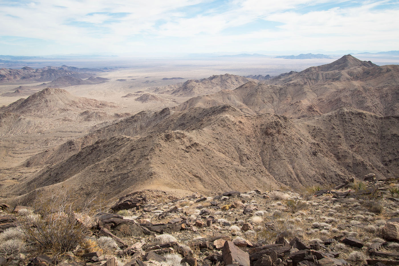
Ascending to Horn Peak's south ridge.
View back as I ascend to Horn Peak's south ridge. I came up from the top right in this photo. In the distance you can see Mopah and Umpah Peaks.
On the south ridge, some rock outcrops to avoid. Class 2.
Continuing up to Horn Peak.
On the way up to Horn Peak, view the way I came. My car is somewhere top right. The wash/drainage I came up from is seen center of this photo.
Final bit to Horn Peak summit.
Horn Peak, view toward Castle Rock, Mopah, and Umpah.
Horn Peak, view north toward Turtle Mountains High Point.
Class 2 down from Horn Peak's northern ridge.
Along the lumpy ridgeline from Horn Peak to Turtle Mountains HP.
View back toward Horn Peak and its northern ridge I came down from.
Turtle Mountains HP ahead. First I had to head over the lumpy ridgeline.
Along the ridgeline.
View back along the ridgeline, Horn Peak visible top left.
The final descent before reaching the southern base of Turtle Mountains HP. I had two options: drop down into the drainage below and ascend, or stick to the ridge on the right (out of frame) and loose less elevation. I took the direct route down.
Ascending the southern base of Turtle Mountains HP.
View back toward Horn Peak as I ascent Turtle Mountains HP.
At a false summit. Turtle Mountains HP visible ahead. Well, technically what you see here is the southern end of the peak. The summit is still out of view.
Last big push.
Class 2.
View back, Horn Peak visible top right. My car is somewhere top left.
Southern ridge of Turtle Mountains High Point, where there was an extended rock outcrop along the crest. I kept left to keep the route Class 2.
Turtle Mountains High Point, view west.
Turtle Mountains High Point, view south.
Close-up toward Mopah, Umpah, and Castle Rock.
Now for the descent. I backtracked off the summit to the minor saddle on Turtle Mountains High Point's south side, then side-hilled off the ridgeline.
The side-hilling brought me to this spur ridge, where cairns and a social trail became more apparent.
View back up the Class 2 spur ridge descent along the standard route up Turtle Mountains High Point.
Still desending along the spur ridge. Soon I'll leave the ridge and head to the right. The hump visible top right is my landmark. I want to end up to its right, where I can pick up a major wash.
View back up the spur ridge, Turtle Mountains High Point visible top right.
Dropping off the spur ridge. You can see the terrain is lumpy ahead and there are many arroyos I needed to climb in and out of. The goal is a wash to the right of the peak visible on the top left.
View back up toward the spur ridge I came down from.
Heading through the desert at the foothills of Turtle Mountains High Point. You can see plenty of little arroyos ahead.
View back after navigating the somewhat annoying terrain.
Final bit to get into the wash. The peak I mentioned earlier is visible on the left. I wrapped to the right of the minor bump in the center of this photo and the made a final drop into the wash.
Within the wash, which I followed for a while.
Shortly after this granitic Class 2 obstacle there is a cairn pointing out of the wash.
Leaving the wash to get back to the road.
Along the road.
A few road walking miles led back to my car at the wilderness boundary.
Hire me or show me some love!
Hire/refer me as a web developer or send me a few bucks if you find my site useful. I’m not sponsored, so all fees are out-of-pocket and my time preparing trip reports is unpaid. I really appreciate it!