I provide a free route map, but you can also download a hike/drive GPX to assist you and to help support my site. Before sharing my GPX tracks with others, please remember my site is a free resource and I'm charging nominal fees to offset my substantial costs.
GPX track added to your cart.
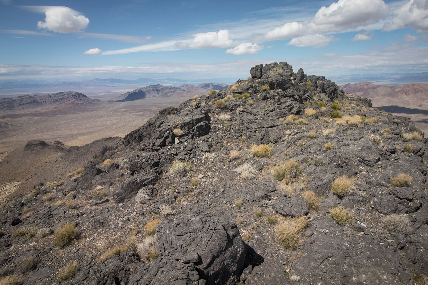
Mar 22, 2020 — Last Chance Range High Point was a surprisingly fun peak just north of Pahrump, NV. It's got a lot of fun scrambling and the rock colors/variety changes as you ascend. Austin and I parked at the end of a dirt road on the outskirts of Pahrump, the last homes before the desert. I don't know if the locals cared that my car was parked at the end of the road, but nobody said anything. A mile or so walk through the desert brought us into the major drainage coming down from Last Chance Range High Point. We followed it, keeping left at the first major fork. The canyon was full of Class 2 boulder-hopping and a few short, avoidable Class 3 dryfalls. The canyon even got pretty narrow at one point, which was exciting in the way that these things can be exiting to desert nerds like myself. The drainage opened up and became more steep, eventually turning into a slope, and ascended to a saddle to the east of Last Chance Range High Point. The slope leading to the crest was pretty steep, but just rubbly and not particularly dangerous.
The rock became black and interesting from the saddle. We followed the ridge crest to the left, first navigating pretty steep and loose dirt/rock before the terrain became scrambly, with grassy ledges between sets of black rock. You can probably keep the route Class 2+ (maybe?), but there are some really fun Class 3 moves on this fairly solid rock, and the exposure is minimal. We generally kept to the left around Last Chance Range High Point's summit, where a final scrambly section led to a grassy slope. Although there were some rock outcroppings to navigate on the slope and the summit wasn't visible until we were right next to it, we just kept going higher and made it up. Take note of the route back down, where the scramble ended and the grassy slope began, since cliffs everywhere else would make descending treacherous if you go off-route.
Please consider helping me out if you find my site useful. I'm not sponsored, so all site fees are out-of-pocket and my time preparing these trip reports is unpaid. You can also hire me as a web developer. I really appreciate it!


If you find my site helpful, please help me replace my many broken cameras, fund my website fees (hosting, APIs, security), or just support my countless hours of work. I pay for all expenses myself, and all trip reports I post are unpaid and unsponsored, so any support is really appreciated!
If using PayPal, please select their option for "Sending to a friend" so they don't take out fees, thank you.
My site is free to use, but consider sending me a few bucks to help keep it running. Thanks in advance!