

Maroon Lake.
Maroon Peak, beautiful and distinctive.
Approaching Crater Lake, Pyramid Peak back there somewhere.
Crater Lake on the left, Maroon Peak on the right.
Continuing past Crater Lake.
Looking back toward Crater Lake.
The spot to leave the trail and follow a social trail to Maroon Peak.
It's pretty steep the whole way up.
Maroon Peak is up there somewhere.
Looking down toward the valley I came from, west Maroon Creek.
View south on the way up.
Approaching the ridgeline where the scramnling will start.
Maroon Peak ahead, only a crumbly scramble away.
The route basically follow the white rock ridgeline and then traverses to the left along the maroon-ish rock before ascending a few gullies to the summit.
Some obstacles along the ridgeline.
More obstacles along the ridgeline.
Looking back along the ridgeline toward the way I came.
A social trail marks the route. Follow it as best as you can.
The first gully to ascend.
Looking down the first gully, the ridgeline you came in on in the center.
Looking back toward the ridgeline so far, after leaving the gully.
Traverse along the maroon-ish rock.
Approaching the second, steep and loose, gully.
Looking down the gully.
Approaching the top of the gully.
Looking back down from the top of the gully.
Class 2+ scrambling from the top of the gully.
Looking back the way I came.
Social trail leads you through most of this mess.
Looking back along some semblance of a social trail.
A preview of the summit view on the way up.
The last bit of ridgeline coming up.
Errrr.... yeah it looks like a mess because it is a mess. I went up one way and down another. Just keep your route-finding thinking cap on and don't make any difficult moves. The last bit to the summit goes at Class 2+ max.
Nearing the Maroon Peak summit, looking south toward the way I came.
Nearing the Maroon Peak summit looking west.
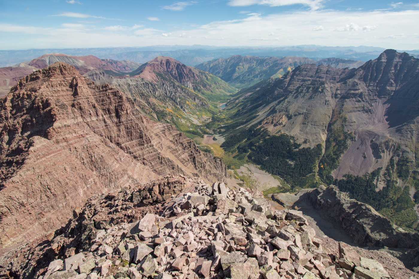
Nearing the Maroon Peak summit looking north toward Maroon Lake.
Close-up of the ridgeline to North Maroon Peak.
Mountain goats spotted on the way down, Pyramid Peak in the background.
Hire me or show me some love!
Hire/refer me as a web developer or send me a few bucks if you find my site useful. I’m not sponsored, so all fees are out-of-pocket and my time preparing trip reports is unpaid. I really appreciate it!