I provide a free route map, but you can also download a hike/drive GPX to assist you and to help support my site. Before sharing my GPX tracks with others, please remember my site is a free resource and I'm charging nominal fees to offset my substantial costs.
GPX track added to your cart.
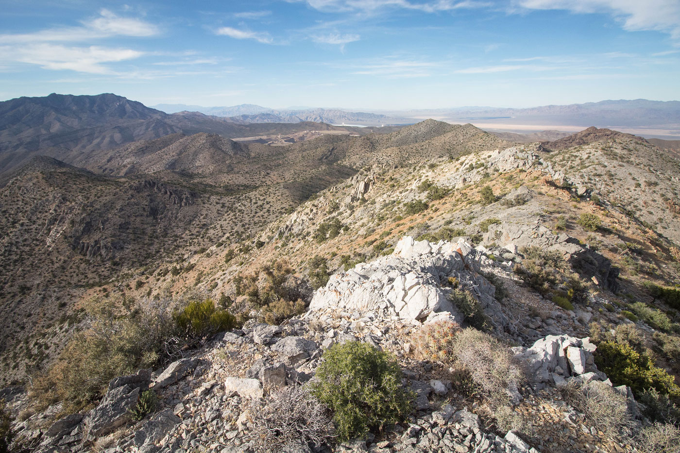
May 24, 2020 — Most people seem to summit Mescal Range High Point from the south, which would certainly be an easier undertaking. I chose my route because it was less driving and would also summit Climax Peak, a minor sub-peak of Mescal Range HP. It actually worked out really well, and despite being more work than the standard route, I'd recommend it.
I parked at the end of a dirt road. Low clearance vehicles might not make it and would add another mile to the hike each way. From my parking spot, I headed south, following the dirt road until it curved away from my intended route. My goal was to follow the road as long as possible and to head to a spur rige that stretched out to the east of Climax Peak since the cliffs around the summit would be difficult to navigate. I noted a fairly heavily-traveled burro trail and unbelieveably, this trail led me all the way to my choice ridge. If someone told me this was an official trail made by humans, I would believe it - it was very good. This was fortunate because the bushwhacking and scrambling required to get to the ridge woud have been very not fun. I was thrilled. The trail basically follows a nice slope until reaching the steeper sections to the east of Climax Peak, and just before needing to deal with the cliffy obstacles, the trail heads directly south for a while, staying just under the difficulties and leading safely to the spur ridge. The social trail continues south (and I would follow this part later on my way back from Mescal Range HP), but I wanted to head up to Climax Peak first and then traverse the ridge proper. The slope from the spur ridge to the summit is quite steep, but a less obvious social trail is easy to follow and the vegetation is mostly totally gone. From Climax Peak, I headed south along the ridge, encountering some Class 2 stuff but otherwise just taking in the views. Mescal Range High Point was a nice sunset spot, and Clark Mountain to the north was a pretty backdrop for the ridgeline.
On my way back, I noted the burro trail I left earlier to head to Climax Peak and followed it, avoiding some additional elevation gain (see map). The burros did all the work for me on this one, resulting in a nice little hike.
Please consider helping me out if you find my site useful. I'm not sponsored, so all site fees are out-of-pocket and my time preparing these trip reports is unpaid. You can also hire me as a web developer. I really appreciate it!


If you find my site helpful, please help me replace my many broken cameras, fund my website fees (hosting, APIs, security), or just support my countless hours of work. I pay for all expenses myself, and all trip reports I post are unpaid and unsponsored, so any support is really appreciated!
If using PayPal, please select their option for "Sending to a friend" so they don't take out fees, thank you.
My site is free to use, but consider sending me a few bucks to help keep it running. Thanks in advance!