I provide a free route map, but you can also download a hike/drive GPX to assist you and to help support my site. Before sharing my GPX tracks with others, please remember my site is a free resource and I'm charging nominal fees to offset my substantial costs.
GPX track added to your cart.
Jul 20, 2021 — Despite my terrible photos below, this is likely one of the prettier hikes in the area. The humidity and my buckets of sweat from the day before broke my camera and I had to resort to using my clearly broken iPhone to take photos. You can approach Mount Everett from the Appalachian Trail north or south, or from a road from the peak's west. I chose the Race Brook Falls Trail because it looked like the prettiest option and would also give me easy access to Mount Race, the peak just south of Mount Everett.
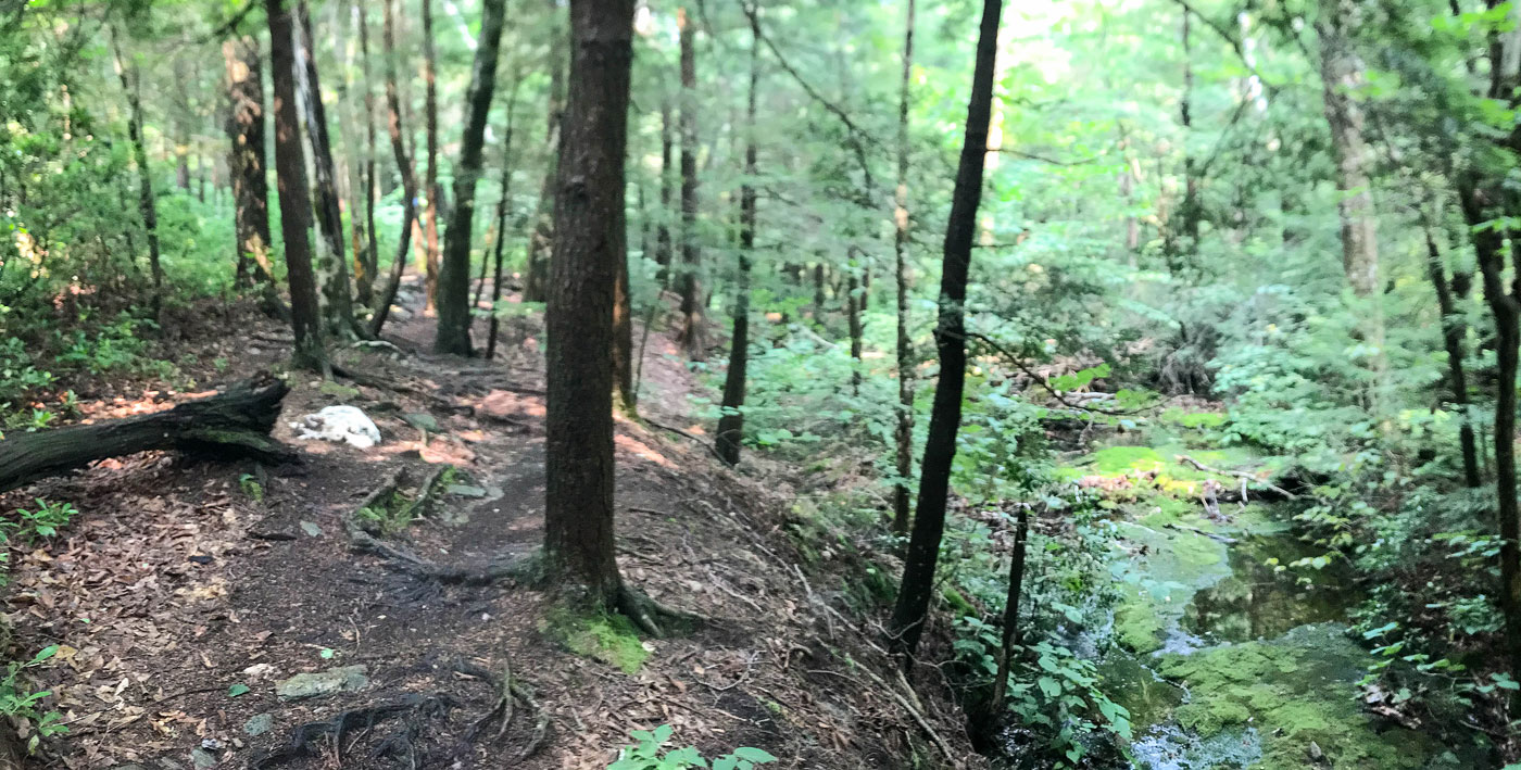
A stream crossing, one of a few, met me just past the trailhead and then a nice wooded walk led alongside Race Brook. A junction pointing to the right apparently leads to the lower falls, but I kept left. I reached another junction and kept right for the ascent, coming down from the left on my descent (see the baby loop on my attached map). Keeping right led to Race Brook, and a steep social trail led west to reunite with the blazed trail. Once back on the well-marked main trail, I continued past Race Brook Falls and made my way above the falls to the pretty creek above. The trail continued along Race Brook, passed the Race Brook Campsite, and then met with a junction with the Appalachian Trail just below the saddle of Mount Everett and Mount Race.
I headed north to Mount Everett first, the trail somewhat steep at parts and aided by wooden blocks fixed as steps on the slippery rock. A couple of AT through-hikers I passed sighed with relief when I told them about said blocks, so I suppose maybe they're a welcome sight to those with heavy packs. The summit was mostly obscured by brush, but there was at least a hint of a view.
I headed back to the saddle and south to Mount Race, a much more gradual ascent to its summit. There were a couple of rocky sections along the trail and this summit had better views than Mount Everett. I returned the way I came.
Please consider helping me out if you find my site useful. I'm not sponsored, so all site fees are out-of-pocket and my time preparing these trip reports is unpaid. You can also hire me as a web developer. I really appreciate it!


If you find my site helpful, please help me replace my many broken cameras, fund my website fees (hosting, APIs, security), or just support my countless hours of work. I pay for all expenses myself, and all trip reports I post are unpaid and unsponsored, so any support is really appreciated!
If using PayPal, please select their option for "Sending to a friend" so they don't take out fees, thank you.
My site is free to use, but consider sending me a few bucks to help keep it running. Thanks in advance!