

Starting through the forest.
Stumbled on a trail, which was actually pretty difficult to follow at times. I'm also not sure it's legal to be on this trail, so you may want to rethink your route to ensure you're not breaking any laws.
Emerging from the forest and approaching the endless talus field that is Mount Mellenthin. I headed for the ridge obscured by trees on the right.
Heading through talus to the ridge on the right.
Looking back toward the northern La Sals, my route came from the center of this photo.
Ascending the Class 2 ridge.
Looking back again at my progress.
Some interesting massive talus blocks.
False summit ahead.
Approaching the false summit, which gets very steep. I wrapped around on the right to avoid extra danger.
Looking back again as I get higher.
Wrap around the false summit to avoid very steep and loose talus.
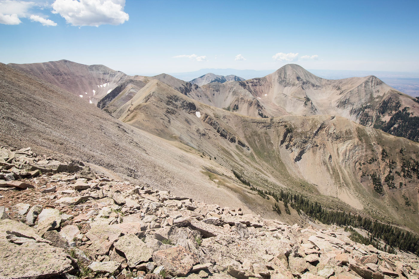
View toward the southern La Sal peaks, Mount Tukuhnikivatz visible on the right, Mount Peale far left.
Final push to the summit of Mount Mellenthin.
Interesting narrow ridge just before the summit.
Looking back at the summit ridge, an amazing desert landscapes visible below in the distance.
Mount Mellenthin summit, view toward Mount Peale (left) and Mount Tukuhnikivatz (right).
Mount Mellenthin summit, view north toward the northern La Sal peaks.
Hire me or show me some love!
Hire/refer me as a web developer or send me a few bucks if you find my site useful. I’m not sponsored, so all fees are out-of-pocket and my time preparing trip reports is unpaid. I really appreciate it!