I provide a free route map, but you can also download a hike/drive GPX to assist you and to help support my site. Before sharing my GPX tracks with others, please remember my site is a free resource and I'm charging nominal fees to offset my substantial costs.
GPX track added to your cart.
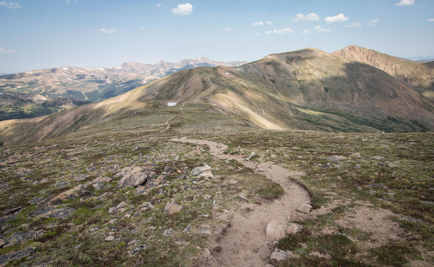
Aug 10, 2020 — Loveland Pass was extra crowded on my visit due to traffic redirection from a closure on the Interstate, but I assume it's normally a very popular spot regardless. Mount Sniktau was my first goal, a heavily-eroded trail starting up from the pass. It's a very accessible 13er, so I put my headphones on and tried to get to the summit as quickly as I could. A trail leads the whole way, passing over a sub-peak along the way and over a couple of small sections of Class 2.
I continued from Mount Sniktau south along the ridgeline on a trail to Cupid, where the crowds thinned. The last bit to gain Cupid's summit is off-trail, but it's all tundra with some minor Class 2 at the summit. I dropped down from Cupid and left the ridgeline to follow another social trail that avoided re-ascending toward Mount Sniktau, intersecting with the approach trail.
Please consider helping me out if you find my site useful. I'm not sponsored, so all site fees are out-of-pocket and my time preparing these trip reports is unpaid. You can also hire me as a web developer. I really appreciate it!


If you find my site helpful, please help me replace my many broken cameras, fund my website fees (hosting, APIs, security), or just support my countless hours of work. I pay for all expenses myself, and all trip reports I post are unpaid and unsponsored, so any support is really appreciated!
If using PayPal, please select their option for "Sending to a friend" so they don't take out fees, thank you.
My site is free to use, but consider sending me a few bucks to help keep it running. Thanks in advance!