

Starting along the Mount Trumbull Trail.
Forested Mount Trumbull Trail.
Switchbacks as I approach the slightly steeper ascent.
View back, still lower on the mountain.
Then the trail begins to gain some traction, making an ascending traverse on the south side of Mount Trumbull.
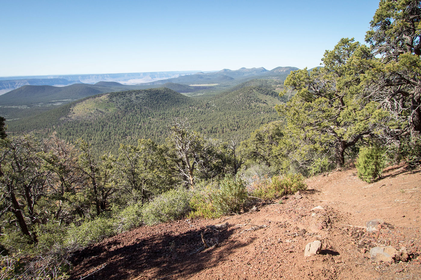
View back toward what I thought were the nicest views of the hike.
Almost at the end of the majority of the ascent.
The trail then just heads through the forest for a while, climbing only a minor amount.
Entering an old burn area.
View back as the trail heads.
Some pretty post-burn forest.
View back.
The trail gets a little hard to follow for the last half mile, but it's there. Even if you miss it, hopefully you have a map and can ascend to the high point. Getting back to the discernable trail could be tricky later on though.
Last little ascent to the summit.
Mount Trumbull summit.
Possible higher summit just north of the summit cairn, view north.
Hire me or show me some love!
Hire/refer me as a web developer or send me a few bucks if you find my site useful. I’m not sponsored, so all fees are out-of-pocket and my time preparing trip reports is unpaid. I really appreciate it!