

Waterfall on the Falling Waters Trail.
Ascending the steep trail.
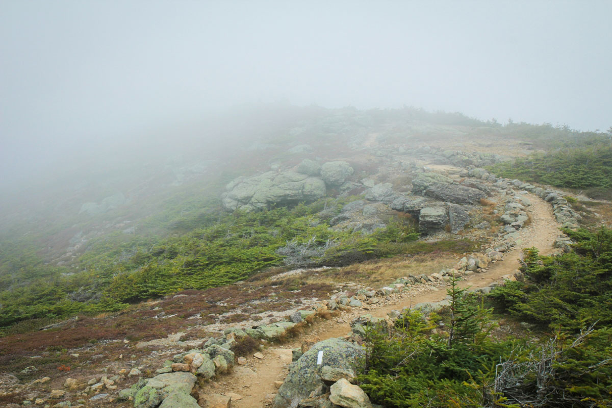
Franconia Ridge Trail
Coming down from Lafayette Mountain on the Franconia Ridge Trail, covered in fog
Franconia Ridge Trail
Old Bridge Path.
Along the Old Bridge Path on slick, some scrambling.
Along the Old Bridge Path looking up at Lafayette Mountain covered in fog (where I was, in the clouds with zero visibility)
A detour to The Basin, just north of the Franconia Ridge Loop. Here's a shot of some water flowing through marble on its way into The Basin.
The Basin. A paved trail leads down to it. Looks really pretty, but you can't go in or around it.
Hire me or show me some love!
Hire/refer me as a web developer or send me a few bucks if you find my site useful. I’m not sponsored, so all fees are out-of-pocket and my time preparing trip reports is unpaid. I really appreciate it!