

View toward where I parked. Some might have trouble with the last half mile to get to where I did. Others can drive farther.
View back at some cool cliffs shortly after starting along the road walk.
Mostly forested. Note a little sign on the rock just off the road reading "Welcome white man".
Just lots of forest walking.
The south ridge of Navajo Mountain becomes visible on the right.
Switchbacks up the ridge.
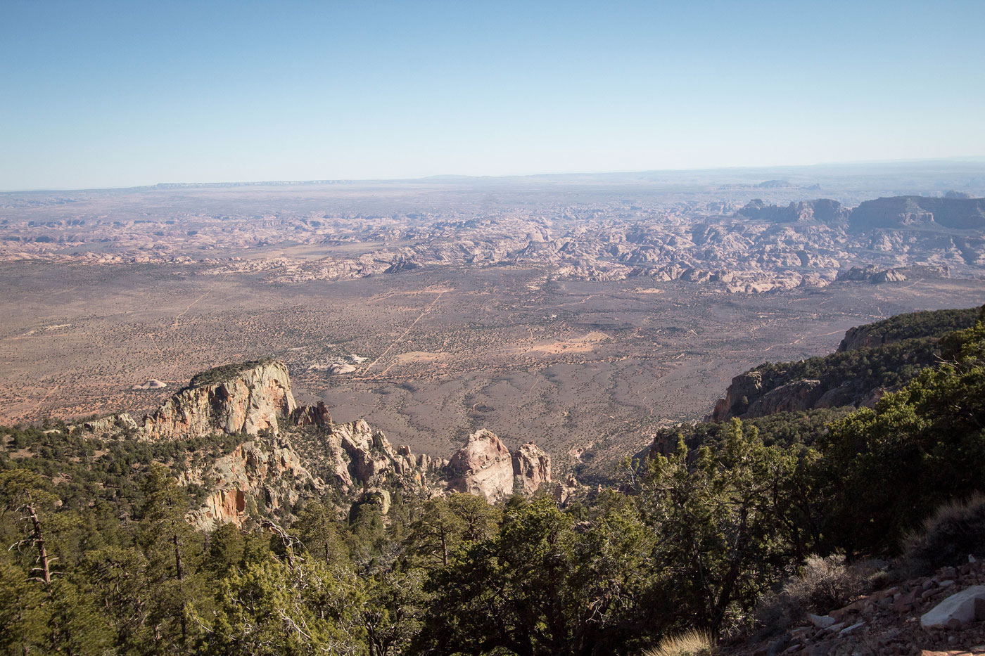
Yay, views!
Close-up of the views from the switchbacks.
Another close-up.
Gnarly road with tight switchbacks.
And then back into the forest.
Glimpses of a view along the way.
But mostly just forest. Not a fun hike.
Radio tower pokes up in the distance.
Navajo Mountain summit.
Hire me or show me some love!
Hire/refer me as a web developer or send me a few bucks if you find my site useful. I’m not sponsored, so all fees are out-of-pocket and my time preparing trip reports is unpaid. I really appreciate it!