I provide a free route map, but you can also download a hike/drive GPX to assist you and to help support my site. Before sharing my GPX tracks with others, please remember my site is a free resource and I'm charging nominal fees to offset my substantial costs.
GPX track added to your cart.
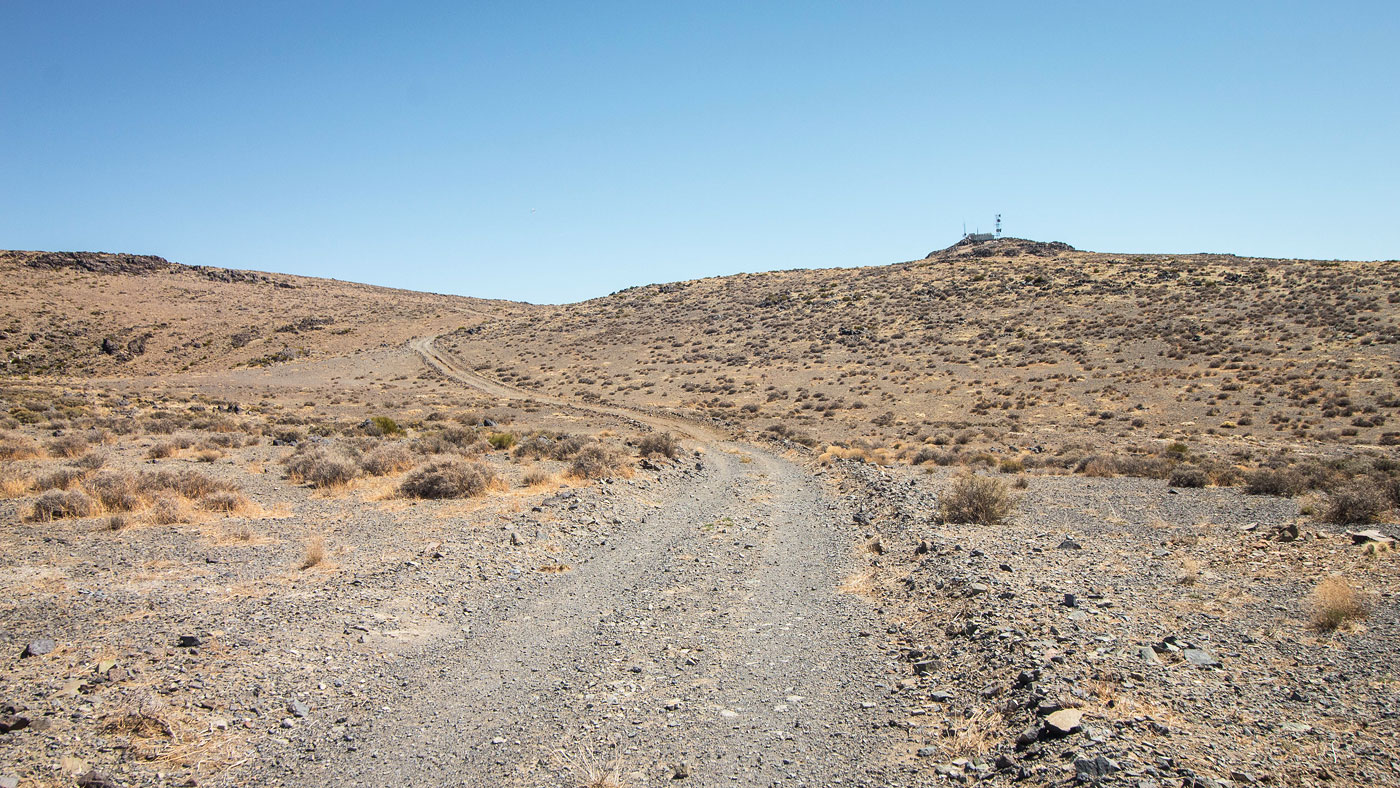
Mar 28, 2021 — Ord Mountain is just a road walk, and certainly not an interesting one at that. While the meadows around the summit and the views to the big SoCal peaks to the southwest are nice, it's not a notable hike at all. To reach the trailhead, head south here (34.71224, -116.8264). Mid-clearance is required shortly after this, and smaller vehicles might struggle on the steeper sections of road. This adds a little under 2 miles and around 500 vertical to the hike. From the locked gate trailhead, I followed the road up to some radio towers. That's really all I can report about this one. The desert in this area is pretty bland overall.
Please consider helping me out if you find my site useful. I'm not sponsored, so all site fees are out-of-pocket and my time preparing these trip reports is unpaid. You can also hire me as a web developer. I really appreciate it!


If you find my site helpful, please help me replace my many broken cameras, fund my website fees (hosting, APIs, security), or just support my countless hours of work. I pay for all expenses myself, and all trip reports I post are unpaid and unsponsored, so any support is really appreciated!
If using PayPal, please select their option for "Sending to a friend" so they don't take out fees, thank you.
My site is free to use, but consider sending me a few bucks to help keep it running. Thanks in advance!