

Heading into the wash center, North Mount Nutt seen on the horizon.
Easy wash walking, if sandy at times. Part of the way was along an illegal ATV road.
Gorgeous volcanic cliffs on the sides of the wash.
A cottonwood oasis.
An unnamed spring within the oasis.
Obstacles within the wash.
Rockier higher up as we enter narrows.
Some pretty cliffs within the drainage.
Our chosen ascent route left the drainage and headed north. Our southern route was Class 4+/5, so skip to our descent route photos if you want the Class 3 option.
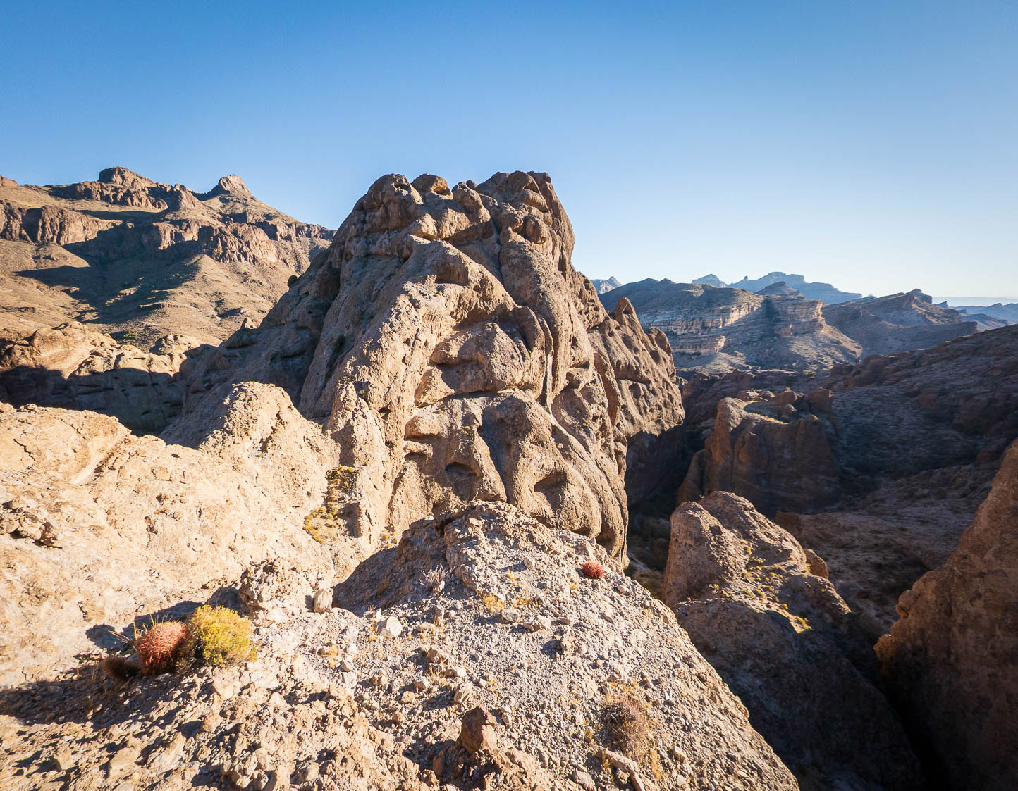
Interesting landscape.
A Class 4 obstacle within one of the passages between hoodoos.
Pecan Peak seen above. We made our way into the major drainage left of center.
View toward North Mount Nutt above.
A shot back. This was off-route (removed from attached map), but the views were really amazing.
Entering the major drainage, accessed via a ramp. This section included gorgeous walls and some Class 3 obstacles.
Pretty narrows within the drainage. I didn't get a shot of the tricky boulder obstacle or the narrows to come, bummer.
Past a boulder move within the narrows after entering a small room, now starting up a high-angle chute.
View back down at a tricker move higher up, Class 4+/5.
Brush higher up within the chute. The chute lasted a few hundred feet overall.
The chute became less steep, and passed under a few massive boulders. We scrambled out through one to gain some more brush and ultimately the summit ridge.
Ascent route came from the left. Matt seen ascending the ridge. We took a different descent route, which dropped to the right of the ridge Matt is on and continued north.
Ascent route came from the left. Matt approaching the summit.
Close-up toward Steel-Cut Peak. Our descent ridge seen bottom center.
View toward the cottonwood oasis we hiked through earlier.
Along the descent, view back toward the summit.
Fun, lumpy terrain on our descent route. There were a few tricky spots that required some light route-finding to keep the going Class 3.
View back up toward the summit (center).
A cool wrap-around to avoid a sketchy section.
Wide-shot of the sketchy spot (far left), avoidable on the far right.
Class 3 steep section on rotten rock.
Along the ridgeline, but we needed to drop to the right (east).
View back toward the ridgeline descent.
Wider shot of the summit and surrounding crazy rock formations.
Deciding on our best descent option from the ridgeline.
We were lucky to find this ledge, exposed but not difficult.
Slabby descent, Class 2/2+.
View back up toward the ridge.
From the base, a view up at the ridgeline, as well as the summit far left.
We continued around the east side of the peak in the drainage below.
Most brush could be avoided using animal trails.
A beautiful bend in the narrows on the way back.
Hire me or show me some love!
Hire/refer me as a web developer or send me a few bucks if you find my site useful. I’m not sponsored, so all fees are out-of-pocket and my time preparing trip reports is unpaid. I really appreciate it!