

View from the trailhead.
Starting along the short, bad road on foot. I'm headed toward the ridge in the center.
View back toward my car (left of center) as I start of the steep initial slope.
Along the way up.
Mostly pretty chill.
View back.
I merged with the main southern ridgeline of Piper Peak.
Some Class 2 along the way.
Close-up back at my progress. My car is in the center.
Some minor Class 2 cliff bands along the way.
Sections of meadow.
View toward the White Mountains.
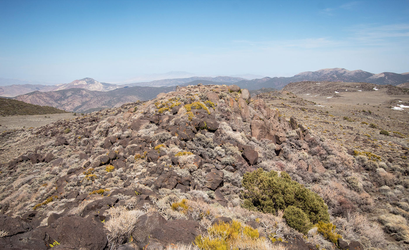
Along the wide, south ridge of Piper Peak. The summit it seen center.
More meadows.
Some light bushwhacking, but it's never annoying.
View back at my progress along the ridge.
Continuing to ascend through alternative trees and meadows.
Another shot back, higher up.
Piper Peak seen center.
View back.
Approaching Piper Peak summit.
View back along the last bit of meadows below the summit. I came up from the center of this photo.
Piper Peak Class 2 summit block ahead.
Piper Peak summit, view south.
Close-up southwest toward the White Mountains, plus a little seasonal pond feature on the right.
Piper Peak summit, view north.
Piper Peak summit, view northeast.
Piper Peak summit, view southeast.
Hire me or show me some love!
Hire/refer me as a web developer or send me a few bucks if you find my site useful. I’m not sponsored, so all fees are out-of-pocket and my time preparing trip reports is unpaid. I really appreciate it!