I provide a free route map, but you can also download a hike/drive GPX to assist you and to help support my site. Before sharing my GPX tracks with others, please remember my site is a free resource and I'm charging nominal fees to offset my substantial costs.
GPX track added to your cart.
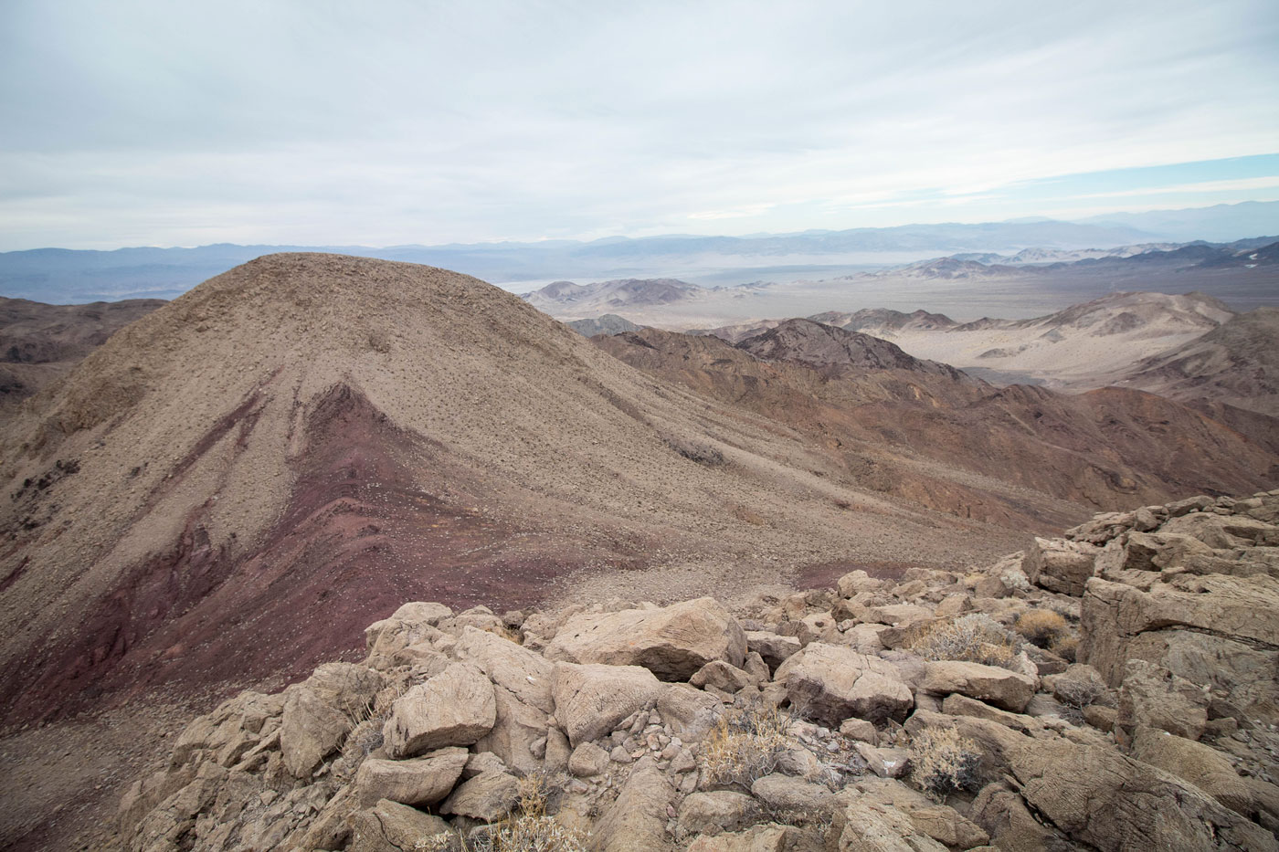
Dec 11, 2020 — The Saddle Peak Hills is a minor range just off CA-127. I parked along a side-road that's rutted and not suitable for low-clearance. 2WD would add about a quarter mile of road walking. From my parking spot, I followed a very deteriorated mining road to the mouth of the major drainage coing from the north of the peaks. Class 2 boulder hopping led me to the northern slope of Ibex Benchmark (the high point). I encountered some Class 2+ moves, and I suppose with some variance you could figure out a way to keep it easier. I headed over to Saddle Peak Hills East, more Class 2+ down to the saddle, and Class 2 to the summit. I backtracked to the saddle and headed back the way I came.
Please consider helping me out if you find my site useful. I'm not sponsored, so all site fees are out-of-pocket and my time preparing these trip reports is unpaid. You can also hire me as a web developer. I really appreciate it!


If you find my site helpful, please help me replace my many broken cameras, fund my website fees (hosting, APIs, security), or just support my countless hours of work. I pay for all expenses myself, and all trip reports I post are unpaid and unsponsored, so any support is really appreciated!
If using PayPal, please select their option for "Sending to a friend" so they don't take out fees, thank you.
My site is free to use, but consider sending me a few bucks to help keep it running. Thanks in advance!