

Starting along the South Rock Trail, Windy Mountain visible top right (our last peak of the loop).
Along the ATV-carved South Rock Trail.
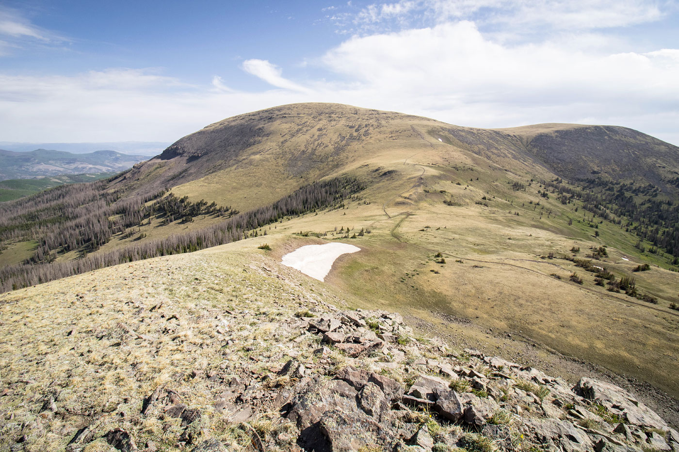
Ascending along the South Rock Trail.
View back, the large hump in the center is what we would be going over later to get from Bennet Peak to Windy Mountain.
We left the trail in order to ascend to Sheep Mountain, ahead.
View back on our way up Sheep Mountain.
Sheep Mountain summit, view west.
Sheep Mountain summit, view north toward Bennett Peak.
Approaching a junction of ATV trails at the base of Bennett Mountain.
View back toward Sheep Mountain.
Along the West Frisco Trail, making our way up Bennett Peak.
View back toward Sheep Mountain.
A wider shot looking back, now higher up.
Windy Mountain in view on the right.
Almost to the summit of Bennett Peak.
View back as we near the summit, Windy Mountain seen in the distance.
Bennett Peak summit, view south. Sheep Mountain is poking out in the center.
View toward the San Francisco Lakes, just east.
Onward to Windy Mountain, but first we had to traverse some tundra and go up and over the lump seen ahead.
View back toward Bennett Peak.
Windy Mountain ahead. Talus/scree on the right (seen here), but if you keep farther left you can avoid the majority of it.
Windy Mountain ahead.
Ascending Windy Mountain's ridge.
Cool hoodoos on Windy Mountain's south face. The trailhead is on the right somewhere.
View back, Bennett Peak and Sheep Mountain visible in the center.
Windy Mountain summit.
Windy Mountain summit, view east.
We backtracked from Windy Mountain and headed down into the trees in order to get back to the South Rock Trail. I recommend staying a bit right and consulting a satellite map to avoid the majority of the bushwhacking.
View back up at the ridge as we head down.
Some bushwhacking, most avoidable. The slope led back to the trail.
Hire me or show me some love!
Hire/refer me as a web developer or send me a few bucks if you find my site useful. I’m not sponsored, so all fees are out-of-pocket and my time preparing trip reports is unpaid. I really appreciate it!