I provide a free route map, but you can also download a hike/drive GPX to assist you and to help support my site. Before sharing my GPX tracks with others, please remember my site is a free resource and I'm charging nominal fees to offset my substantial costs.
GPX track added to your cart.
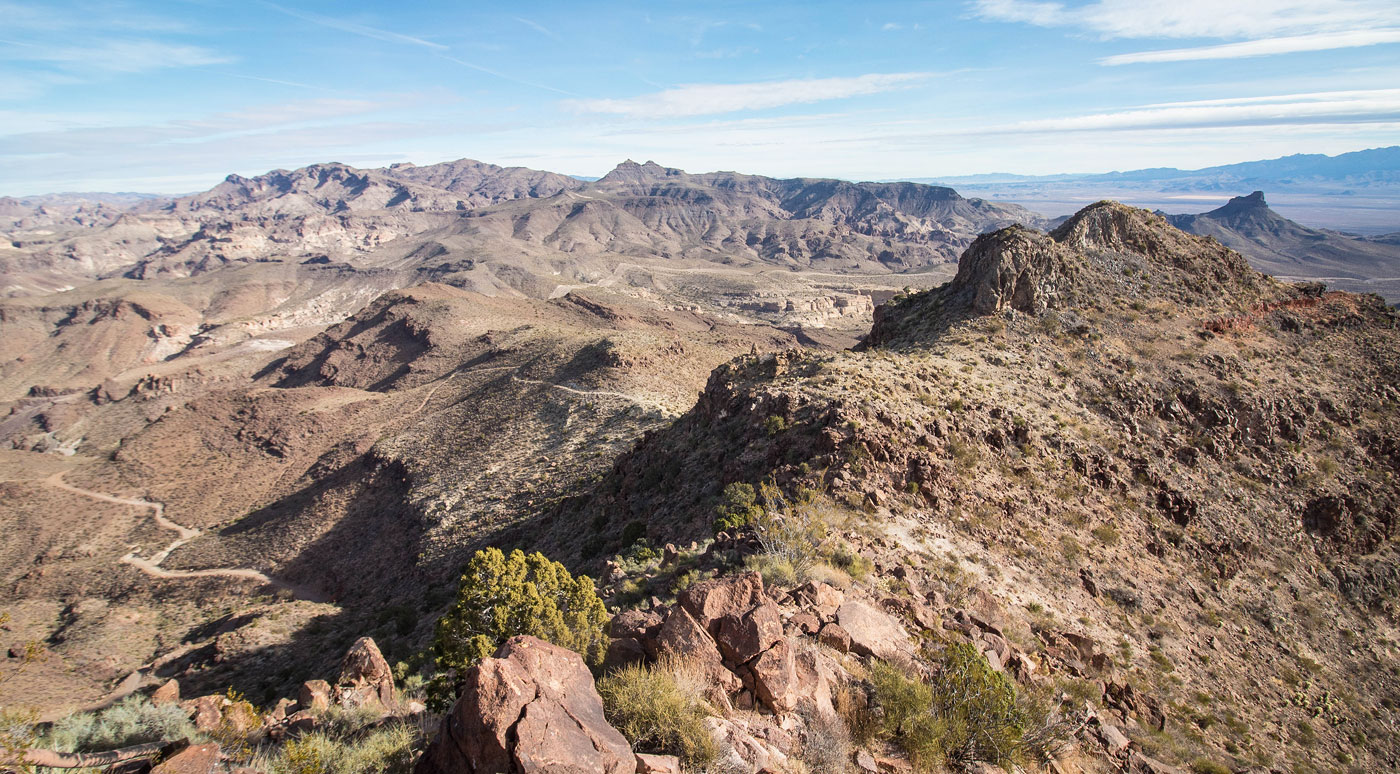
Feb 15, 2021 — This hike starts at Sitgreaves Pass and ascends to the south along a pleasant Class 2 ridgeline. There are a couple of minor bumps along the way and a couple of small cliff bands to avoid. The final ascent to the summit requires side-hilling along the base of the peak's false summit to reach the minor saddle to the false summit's west. The last hundred feet include some fun Class 2 boulder-hopping to the radio towers, marking the high point. We called this Sitgreaves Pass Peak due to its proximity to Sigreaves Pass, but I believe it's otherwise unnamed.
Please consider helping me out if you find my site useful. I'm not sponsored, so all site fees are out-of-pocket and my time preparing these trip reports is unpaid. You can also hire me as a web developer. I really appreciate it!


If you find my site helpful, please help me replace my many broken cameras, fund my website fees (hosting, APIs, security), or just support my countless hours of work. I pay for all expenses myself, and all trip reports I post are unpaid and unsponsored, so any support is really appreciated!
If using PayPal, please select their option for "Sending to a friend" so they don't take out fees, thank you.
My site is free to use, but consider sending me a few bucks to help keep it running. Thanks in advance!