

Entering Meadow Valley Range Wilderness. Sunflower Mountain is visible top left. First, I'm headed to the slope above the sign.
Along the slope, heading to the plateau on the right. Sunflower Mountain visible center.
View back as I ascend to the plateau. I came up from the far right. Meadow Valley Mountains High Point visible top left, cool eroded cliffs visible center.
Sunflower Mountain ahead.
View back as I ascend to Sunflower Mountain.
Sunflower Mountain, it gets quite steep and loose toward the top.
View down Sunflower Mountain as I make progress. My car is on the right below that little black-capped butte. Meadow Valley Mountains High Point visible top left.
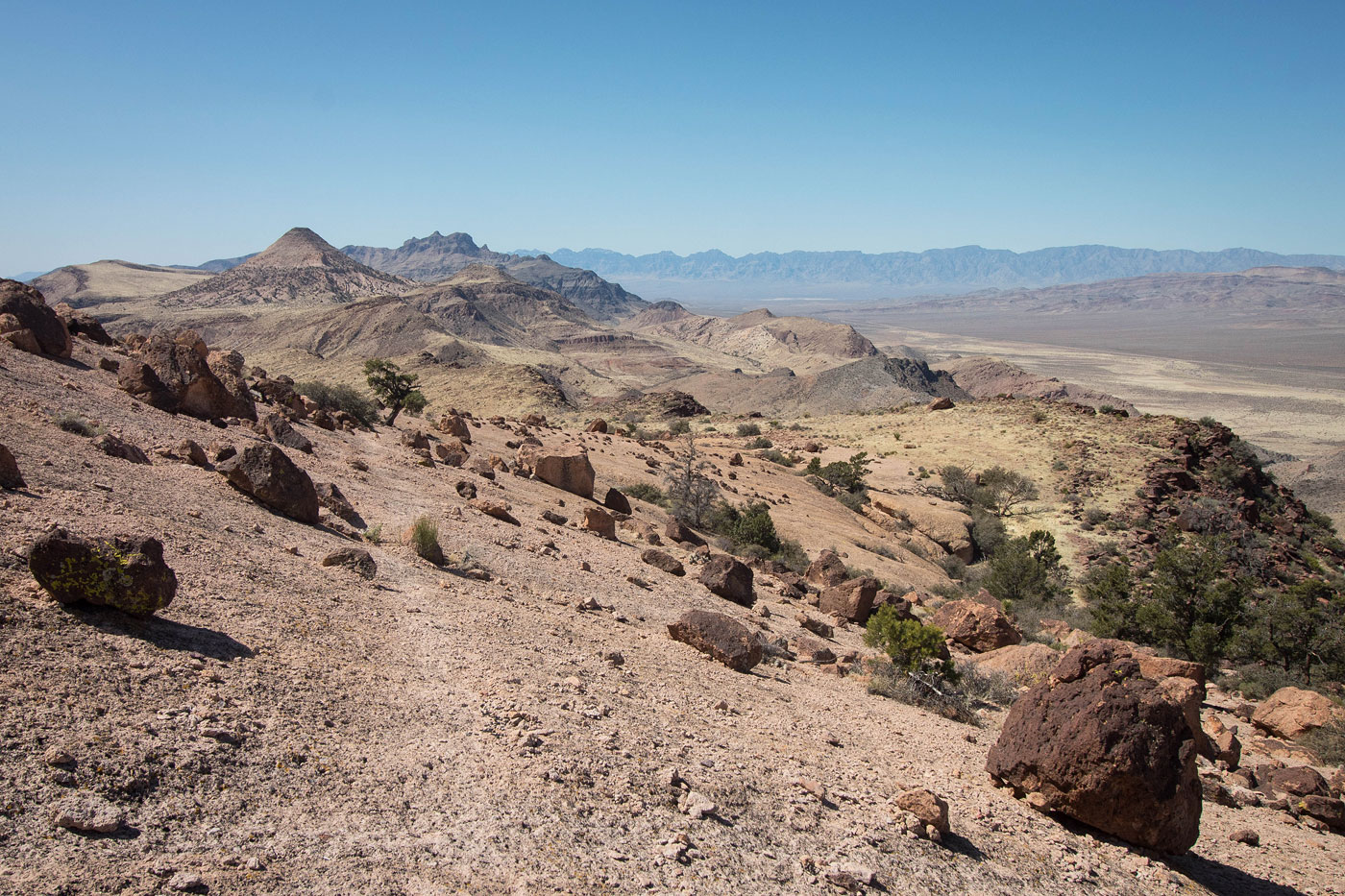
Summit of Sunflower Mountain, view toward Kane Benchmark.
Close-up toward Kane Benchmark.
I headed down the other side of Sunflower Mountain. This is a shot looking back toward the summit. I had to descend on the left in this photo since the ridge ended with the cliff visible here.
Descending from Sunflower Mountain on the left in this photo down a steep scree slope among the trees.
View back again toward Sunflower Mountain. On my way back later, I'll wrap around Sunflower Mountain on the right in this photo.
Kane Benchmark way ahead.
View back toward Sunflower Mountain.
A dip in the ridgeline with some easy Class 2. I stayed along the rim.
View back toward the dip in the ridgeline.
Eroded cliffs ahead. I kept to the left.
Entering a volcanic slickrock wonderland with black boulders laying around.
View back toward Sunflower Mountain, left.
Animal trail along the slickrock.
Really cool section.
View back along the animal trail that traverses the slickrock.
Just past the slickrock I waited for a weakness in the cliff band and ascended toward the jumble of rocks above. Keep to the right to find a Class 2 gully.
At the top of the Class 2 gully. My route wrapped around from the right, out of frame. The point you see on the left is the thing I avoided by staying along the volcanic slickrock below.
Kane Benchmark ahead.
View back as I ascend to Kane Benchmark.
At a false summit, view toward Kane Benchmark.
Kane Benchmark summit, view north.
Kane Benchmark summit, view back the way I came.
On my way back, a shot below Sunflower Mountain. Rather than re-ascend, I kept to the right around the peak.
Easy terrain to get around Sunflower Mountain.
View back as I near the southwest side of Sunflower Mountain.
Major drainage descent option to get back to my car.
Hire me or show me some love!
Hire/refer me as a web developer or send me a few bucks if you find my site useful. I’m not sponsored, so all fees are out-of-pocket and my time preparing trip reports is unpaid. I really appreciate it!