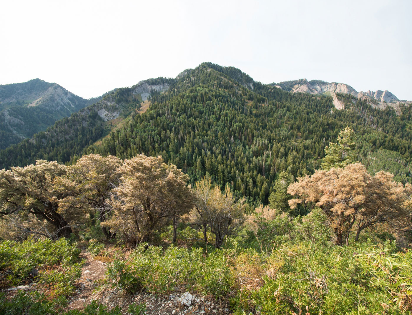
Aug 18, 2018 — My goal was to reach Thayne Peak, and the Thaynes Canyon Trail seemed the most efficient way to get there. Thaynes Canyon is a lush canyon with rock outcrops and typical Wasatch trail foliage encroachment, but it's in great shape and easy to follow. All junctions were marked by nice signs. Eventually the trail bisects the Desolation Trail, which I followed east. There were some nice tree-obstructed views of Millcreek Canyon along the way. The Desolation Trail curves south once it reaches the saddle on the south side of Thayne Peak. At this turn I located a social trail that led to Thaynes Peak's summit. From the summit, you can see the jagged Wildcat Ridge, as well as Mount Olympus, Mount Raymond, and Gobblers Knob.
Please consider helping me out if you find my site useful. I'm not sponsored, so all site fees are out-of-pocket and my time preparing these trip reports is unpaid. You can also hire me as a web developer. I really appreciate it!


If you find my site helpful, please help me replace my many broken cameras, fund my website fees (hosting, APIs, security), or just support my countless hours of work. I pay for all expenses myself, and all trip reports I post are unpaid and unsponsored, so any support is really appreciated!
If using PayPal, please select their option for "Sending to a friend" so they don't take out fees, thank you.
My site is free to use, but consider sending me a few bucks to help keep it running. Thanks in advance!