

We parked in Springdale to avoid private property. The Watchman on the left, Johnson Mountain on the right.
Heading along the fairly obvious trail toward the weakness (lowest section of the saddle).
Really steep the whole way to the saddle.
Getting closer...
The weakness (our Class 3 scramble up). We chose to follow the line of trees going diagonally from bottom right to top left.
Super fun scramble.
Looking back the way we came.
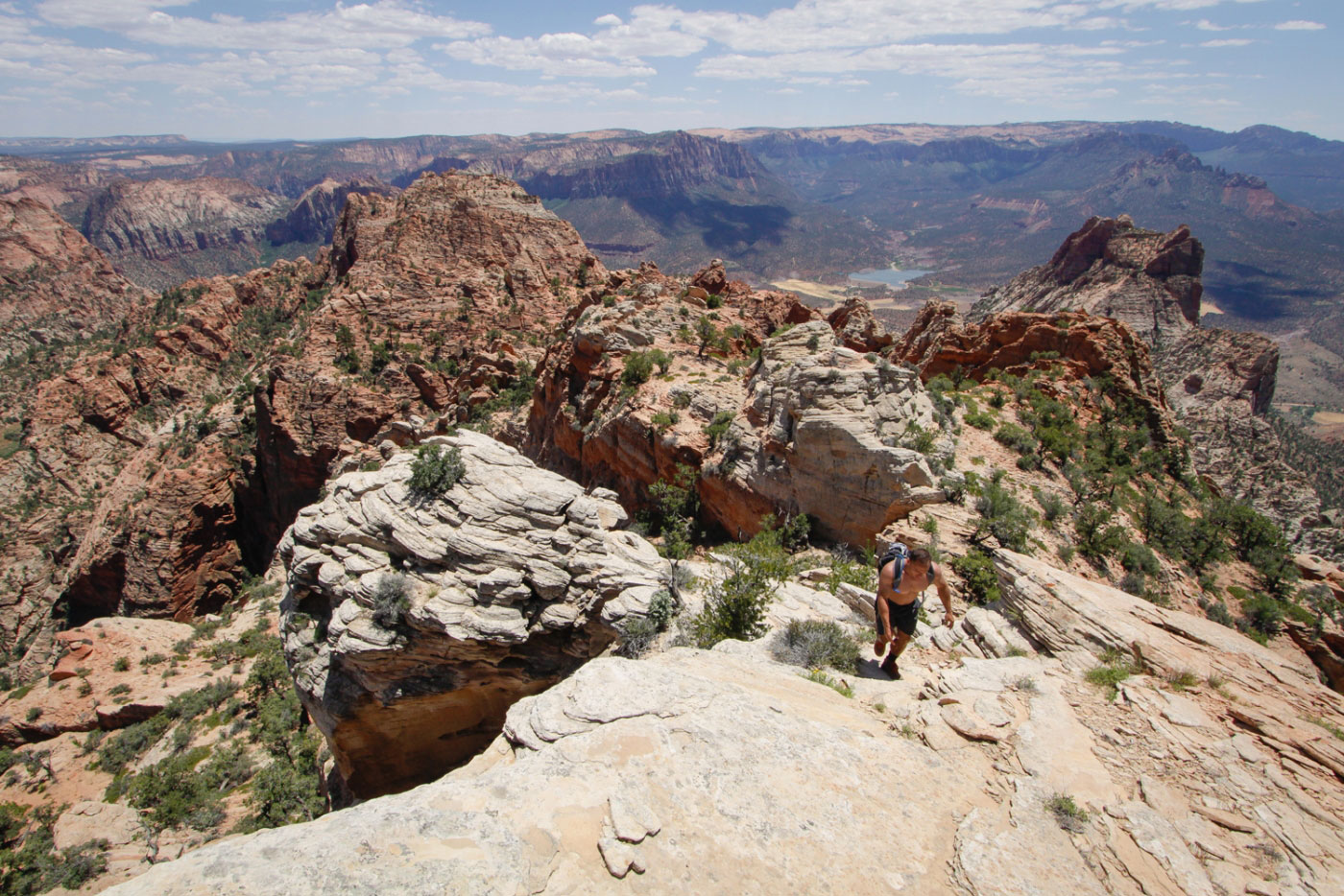
Shawn heading up the scramble.
Johnson Mountain saddle.
Shawn resting on the left, The Watchman in the distance. Long way to go with lots of route-finding still. Our route went from the two pine trees at the bottom, diagonally right to the tree-filled chute, then diagonally left up the mountain.
Class 3 scramble down from the Johnson Mountain saddle.
We found a route up to the chute after a few attempts.
There was a nice rope hanging for us, proving we found the correct way. The rope made a Class 4/5 section super easy. This is looking down from the top of the 30ft assisted rope climb.
Heading up the chute.
Looking back down the chute.
Johnson Mountain in the distance.
At this point, the route-finding got tricky. There are a few little chutes you can head up. We went up one and came down another. Our way up was low Class 5, the way down was difficult Class 3. I don't really know how to describe exactly what we did, but find the chute that works for you.
Looking down our chosen chute.
Flat ground, which we followed north until it ended, before starting the final summit scramble.
Looking back along the flat section, Johnson Mountain in the distance.
Following the flat section...
The end of the flat section, our scramble to the summit just ahead.
Class 2/3 to the summit.
Looking back along the final scramble, Springdale far below.
Almost there!
After gaining the summit ridge.
Approaching the summit along the ridge.
Summit view, looking south!
Summit view, looking north.
Shawn checking out the view. Marc sat on a cactus and he didn't have underwear, so Shawn had to lend him his shorts.
Hire me or show me some love!
Hire/refer me as a web developer or send me a few bucks if you find my site useful. I’m not sponsored, so all fees are out-of-pocket and my time preparing trip reports is unpaid. I really appreciate it!