

Starting along the Ramona Trail. Thomas Mountain is up there somewhere.
View back after starting out, Mount San Jacinto seen top center.
Ascending up switchbacks through the foothills of Thomas Mountain.
The Ramona Trail is really well-maintained.
The switchbacks are frequent and very gain elevation very gradually.
Ascending through shrubby foliage up to conifers higher up.
Views along the Ramona Trail.
Toro Peak seen in the distance on the left.
Entering the forest, all the snowmelt from this year leaving the small creeks running.
Junction. I'll be returning here after. I decided to take the Thomas Mountain Bike Trail and return later from Tool Box Spring.
Along the Thomas Mountain Bike Trail.
The Thomas Mountain Bike Trail crosses a dirt road.
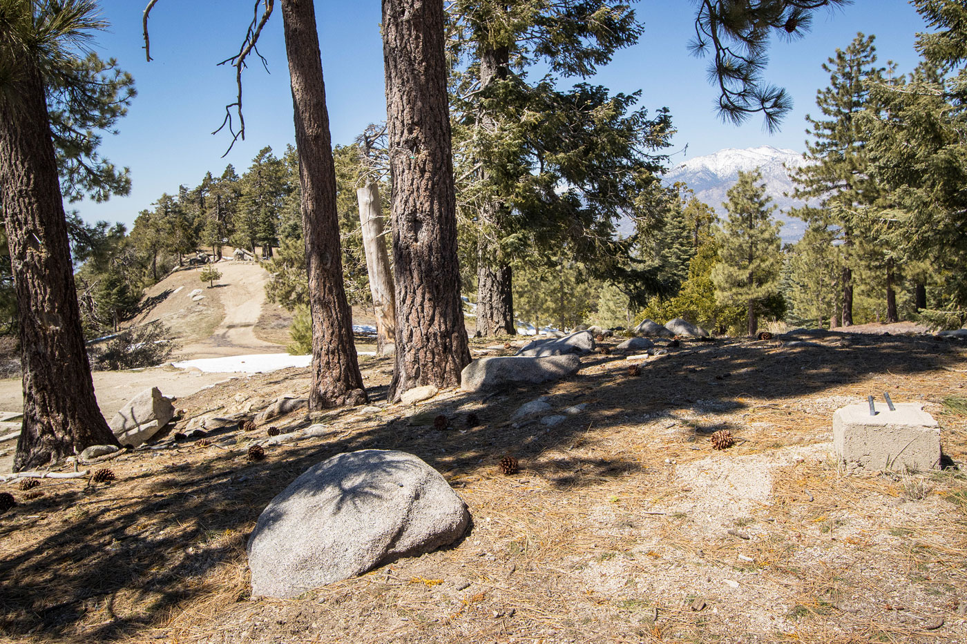
Excellent, open views along the Thomas Mountain Bike Trail.
The trail alternates between open meadow, forest, and shrubby views.
As I neared Thomas Mountain Road, I ran into some snow.
On Thomas Mountain Road.
A few road switchbacks led to the summit radio tower.
But the true summit is about quarter mile away still.
View toward Mount San Jacinto and Lake Hemet.
View toward Cahuilla Mountain.
I took Thomas Mountain Road back down.
I met up with the Tool Box Spring Campground.
And then follows a dirt road back to the Ramona Trail junction.
Tool Box Spring along the way.
Hire me or show me some love!
Hire/refer me as a web developer or send me a few bucks if you find my site useful. I’m not sponsored, so all fees are out-of-pocket and my time preparing trip reports is unpaid. I really appreciate it!