

Gain a ridge that overlooks the Sawtooths.
Heading toward the Thompson - Williams saddle.
Nearing the top of the saddle, Thompson ahead.
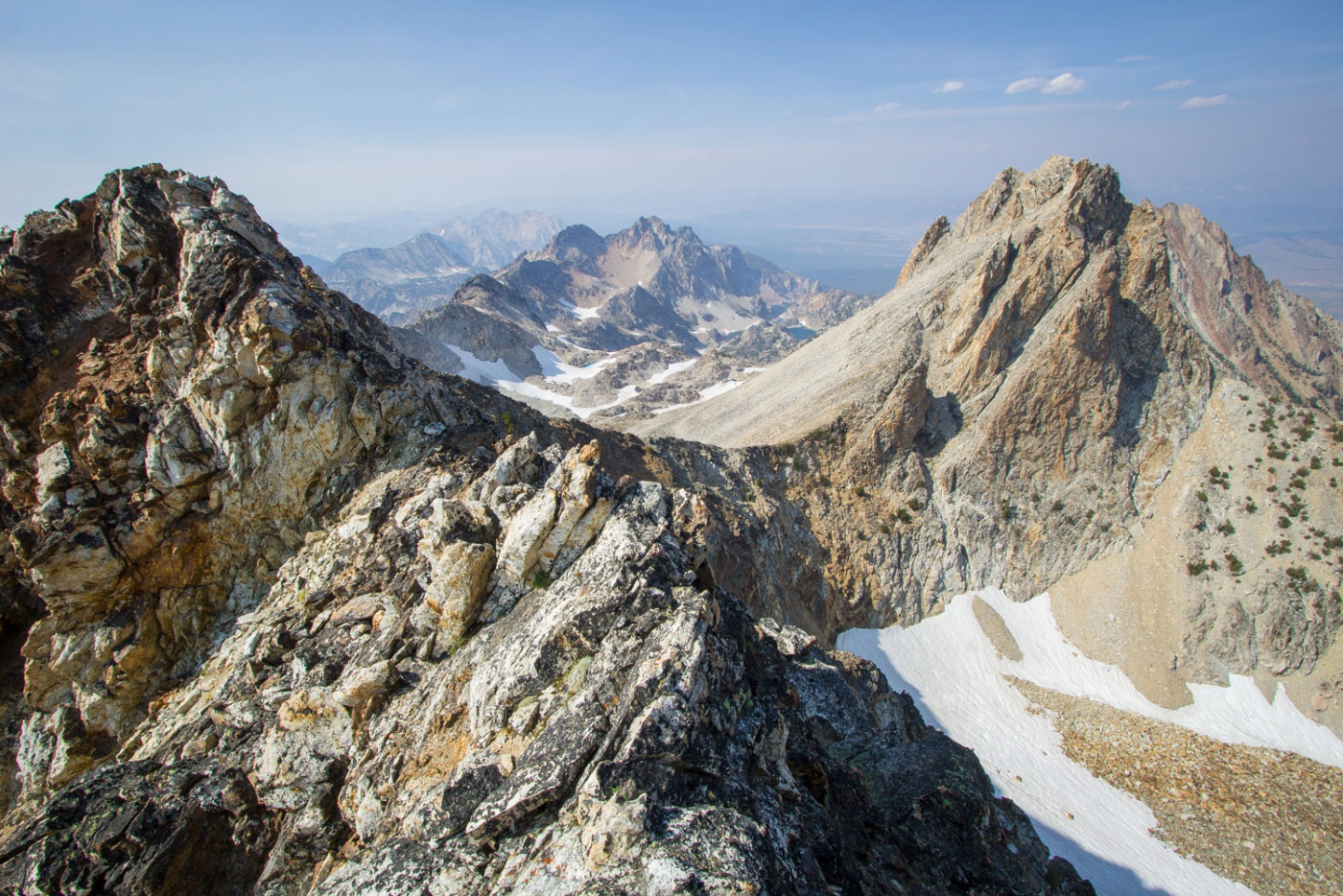
Looking back toward the saddle, Williams on the top right.
Continuing up the talus slope to Thompson.
Looking back.
Above the Thompson Peak - Mickey's Spire saddle before finishing the ascent to Thompson.
Nearing the Thompson summit.
Summit looking east.
Summit view looking south toward Mickey's Spire.
Heading back down Thompson on the way up to Mickey's Spire.
Ridge to Mickey's Spire.
Looking back toward Thompson.
Last bit of Class 2 to the summit ridge of Mickey's Spire.
Ridge to the summit. We traversed on the right side of this to avoid really poor rock and big drops. Probably Class 3+.
Traversing just below the ridge.
Mickey's Spire summit view looking toward Thompson.
Summit view looking south, toward our route. We went down the ridge to the lake below, then curved around and followed the valley out.
Looking back up toward Mickey's Spire.
Almost at the lake.
After the lake, we continued down the valley.
And the bushwhack began...
A random steep slope we hadn't noticed on the topographic map.
Finally, we reached the end of the official trail, so we could follow a trail back to our start.
Hire me or show me some love!
Hire/refer me as a web developer or send me a few bucks if you find my site useful. I’m not sponsored, so all fees are out-of-pocket and my time preparing trip reports is unpaid. I really appreciate it!