

Tosco Benchmark poking out on the right. We hiked along this old mining road.
The road dips in and our of a wash.
View back, the peaks near South Maria seen over there.
Ascending Peak 1707 via its east slope.
Loose, steep terrain.
Approaching the ridge crest.
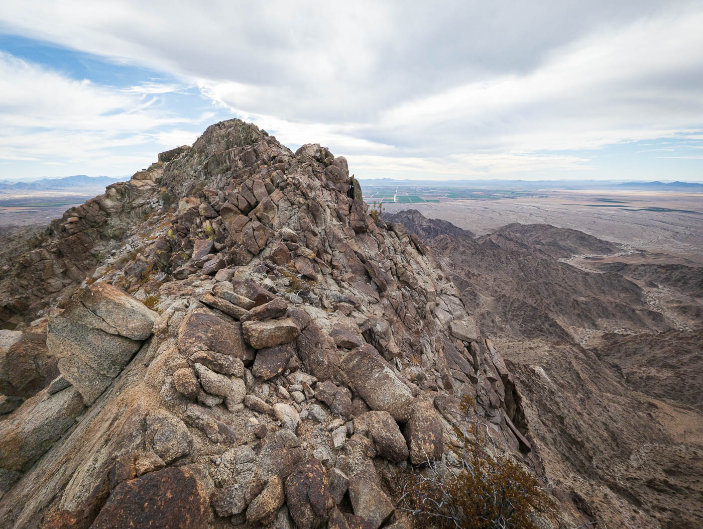
Class 3 ridge crest to the summit of Peak 1707.
Tyler coming up the Class 3 ridge.
View southeast. Peak 2071, our third peak of the day (left), and Tosco Benchmark (right).
Onward to Tosco Benchmark.
Through a drainage with a few short scrambly obstacles.
Obstacle within the drainage.
Some side-hilling and then we reached the major drainage that led us to the north ridge of Tosco Benchmark (the saddle seen center).
Class 2 up the drainage.
View back as we approach the saddle.
At the saddle, continuing south to the summit.
Bouldery terrain, maybe a Class 3 move here and there.
Tosco Benchmark seen ahead.
Starting up an initial slope on our way to Peak 2071 next.
View back toward Tosco Benchmark.
Peak 2071 seen distant right of center. The ridgeline included some Class 2/2+ stuff, much of which can be wrapped around.
The base of Peak 2071 is guarded by a cliff. We kept right around it.
A weakness on the southeast side of Peak 2071 led to the summit.
Peak 2071 summit, view back along the ridgeline toward Tosco Benchmark.
Peak 2071 summit, view north toward the other Big Maria Mountains.
View back toward Tosco (right of center) and Peak 2071 (left) as we head down.
View back up toward 2071 as we navigate some loose terrain and a small cliff at the base of the peak. We reached the old mining road and headed back along it to the cars.
Hire me or show me some love!
Hire/refer me as a web developer or send me a few bucks if you find my site useful. I’m not sponsored, so all fees are out-of-pocket and my time preparing trip reports is unpaid. I really appreciate it!