

The start of the Twin Sisters Peak Trail.
The trail is a very light uphill grade.
Long, sweeping switchbacks through the forest.
Some nice views as we wrap around the northwestern base of Twin Sisters Peak.
Passing the remains of a massive landslide.
Looking back the way we came within the landslide area.
Ascending tighter switchbacks above the landslide area.
Continuing through the forest heading up to the northern ridge of Twin Sisters Peak.
Some hints at views.
Wide shot looking north.
Twin Sisters Peak ahead, left.
The trail is a bit rocky through the talus, but no scrambling required.
Ascending to the saddle of the twin peaks.
View back toward the switchbacks.
Approaching the saddle. Ahead of Austin is the end of the trail. The high point is on the left out of frame.
Twin Sisters Peak (eastern) high point.
View back toward the saddle as we ascend on Class 2 talus to the high point.
Class 2.
Last bit of Class 2 to the summit.
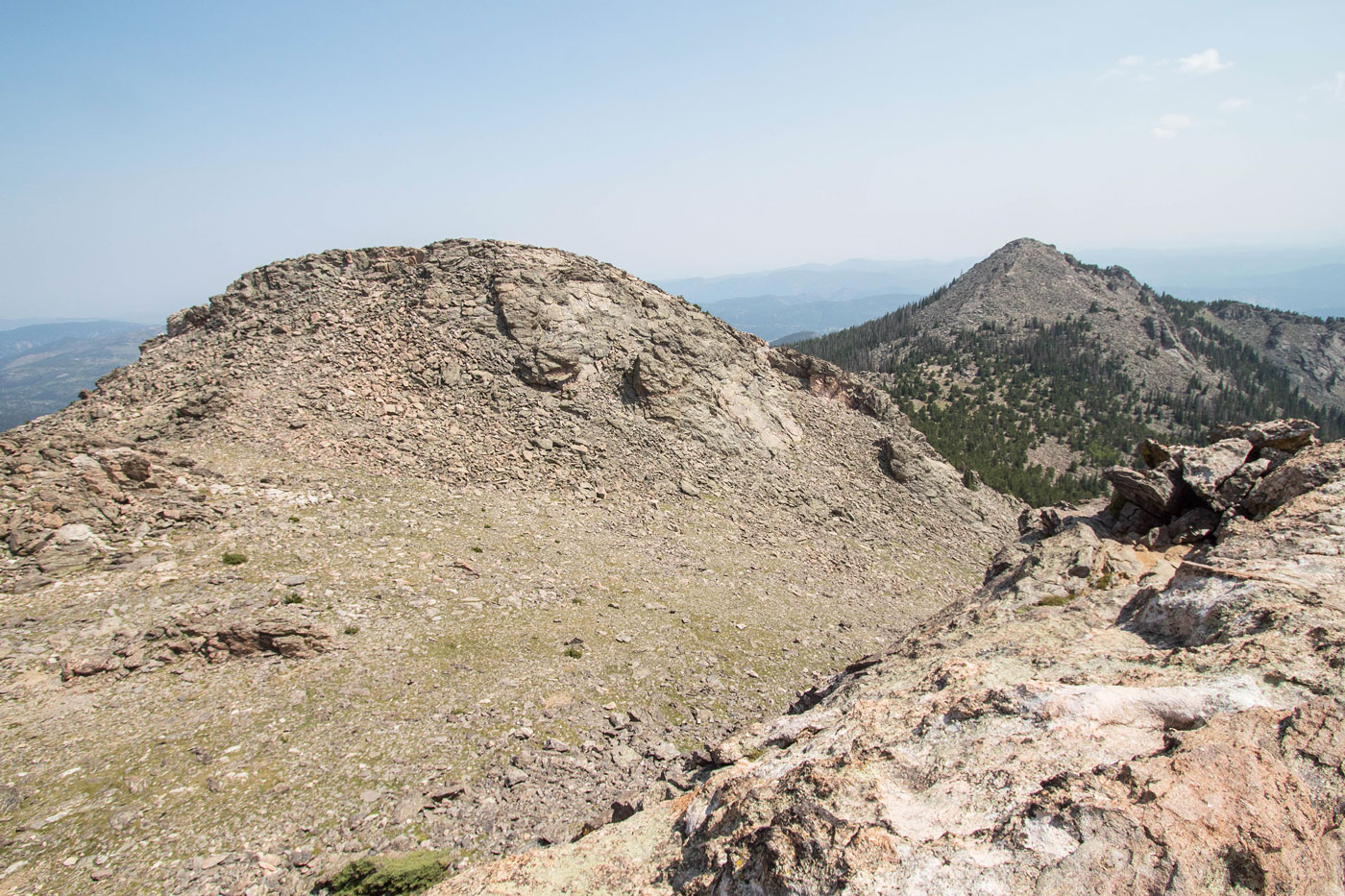
Summit of Twin Sisters Peak, view south toward another peak on the ridge. I was upset we didn't have time to get over to it, but it would certainly be all off-trail.
Quick jaunt to the end of the trail to get the western summit, view back toward the high point (left).
Longs Peak.
Hire me or show me some love!
Hire/refer me as a web developer or send me a few bucks if you find my site useful. I’m not sponsored, so all fees are out-of-pocket and my time preparing trip reports is unpaid. I really appreciate it!