I provide a free route map, but you can also download a hike/drive GPX to assist you and to help support my site. Before sharing my GPX tracks with others, please remember my site is a free resource and I'm charging nominal fees to offset my substantial costs.
GPX track added to your cart.
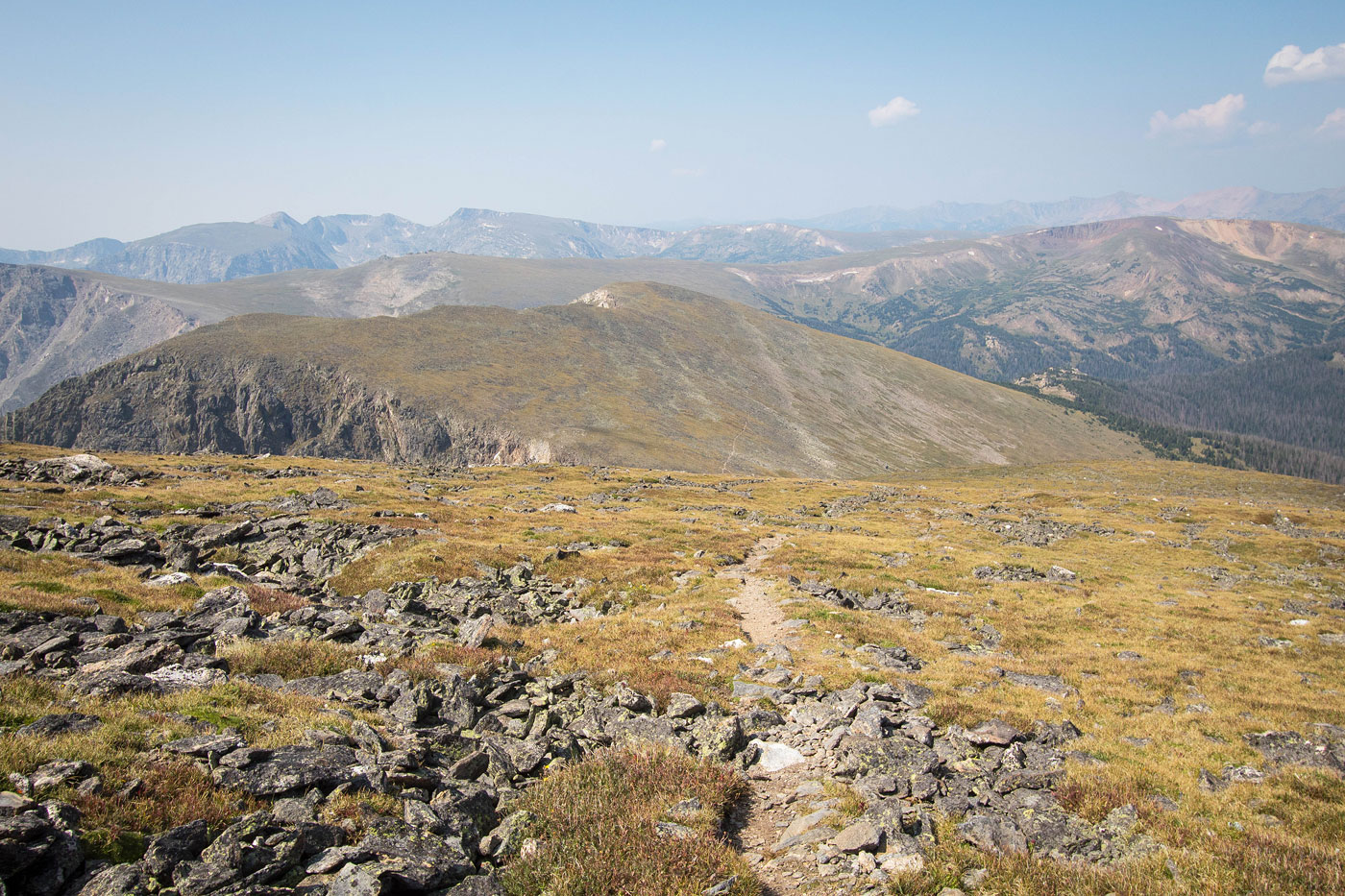
Aug 17, 2021 — Mount Chapin, Mount Chiquita, and Ypsilon Mountain are three popular summits within Rocky Mountain National Park. Accessing them requires a long drive on the seasonal dirt Old Fall River Road. The road is in great shape for any vehicle, but you'll likely by going slowly after getting stuck behind a line of cars. The Chapin Pass Trailhead is only a series of pull-outs along the narrow road, so you might have to walk a bit as not to block traffic. Austin and I started along the well-marked trail, quickly reaching a junction and heading right (east). The trail continued along the northern base of Mount Chapin, passing a cute little pond and quickly emerging from treeline. There is a trail to reach Mount Chapin, a somewhat quick detour. The views are nice from the summit, but the next two peaks would end up being even nicer.
We continued along the eastern ridge of Mount Chiquita, the trail somewhat steep and ending with light Class 2. There was no more official trail leading from Chiquita to Ypsilon, but it's obvious where to go. We followed the ridge north, getting light hints of a social trail through the tundra and light Class 2 as we made our way up to Ypsilon Mountain. There were at least two different routes leading to its summit, but all cairns felt useless. Just wander until you reach the high point. On the way back from Ypsilon Mountain, rather than re-ascend Mount Chiquita, we located a cairned route that led around Chiquita's western slope. The socia trail became more difficult to follow, so we left it and headed south until we met with the trail we previously took to ascend Chiquita. We headed back along the trail the way we came.
Please consider helping me out if you find my site useful. I'm not sponsored, so all site fees are out-of-pocket and my time preparing these trip reports is unpaid. You can also hire me as a web developer. I really appreciate it!


If you find my site helpful, please help me replace my many broken cameras, fund my website fees (hosting, APIs, security), or just support my countless hours of work. I pay for all expenses myself, and all trip reports I post are unpaid and unsponsored, so any support is really appreciated!
If using PayPal, please select their option for "Sending to a friend" so they don't take out fees, thank you.
My site is free to use, but consider sending me a few bucks to help keep it running. Thanks in advance!