I provide a free route map, but you can also download a hike/drive GPX to assist you and to help support my site. Before sharing my GPX tracks with others, please remember my site is a free resource and I'm charging nominal fees to offset my substantial costs.
GPX track added to your cart.
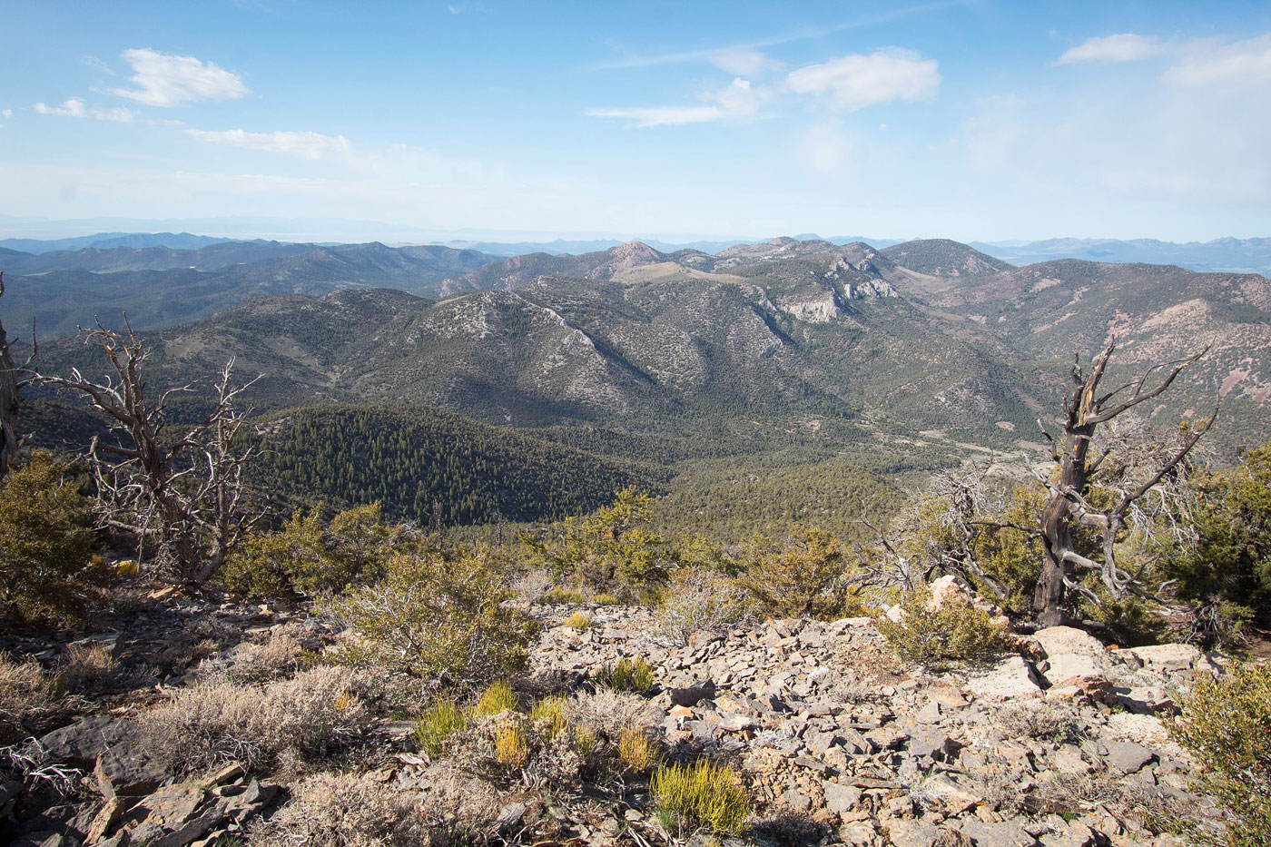
May 17, 2021 — Wah Wah Mountains High Point is a remote peak in Utah's West Desert, accessible by any vehicle. I parked at a pull-out at a hairpin turn before the road started deteriorating and started generally north up a very steep forested slope. It's not quite a bushwhack since the foliage is spread out enough to allow for walking without obstacles. A few hundred feet of ascending and the slope narrowed into a ridge and became a bit more mellow. There was some tree-dodging required, but otherwise minimal bushwhacking. About halfway up to the summit, I encountered some light Class 2, but it's barely notable. Dodging trees toward the summit became a bit more of a chore, but it was short-lived. The views were okay from the summit, but forested in most directions.
Please consider helping me out if you find my site useful. I'm not sponsored, so all site fees are out-of-pocket and my time preparing these trip reports is unpaid. You can also hire me as a web developer. I really appreciate it!


If you find my site helpful, please help me replace my many broken cameras, fund my website fees (hosting, APIs, security), or just support my countless hours of work. I pay for all expenses myself, and all trip reports I post are unpaid and unsponsored, so any support is really appreciated!
If using PayPal, please select their option for "Sending to a friend" so they don't take out fees, thank you.
My site is free to use, but consider sending me a few bucks to help keep it running. Thanks in advance!