

The map displayed on the information kiosk at the Maple Bench Trailhead.
Starting up a reasonably well-maintained trail.
Passing a small pond just before the ascent begins.
Small switchbacks up a ridge.
Looking east into the valley.
Approaching the top of the first set of switchbacks.
The brush started to find a way onto the trail, but nothing annoying just yet.
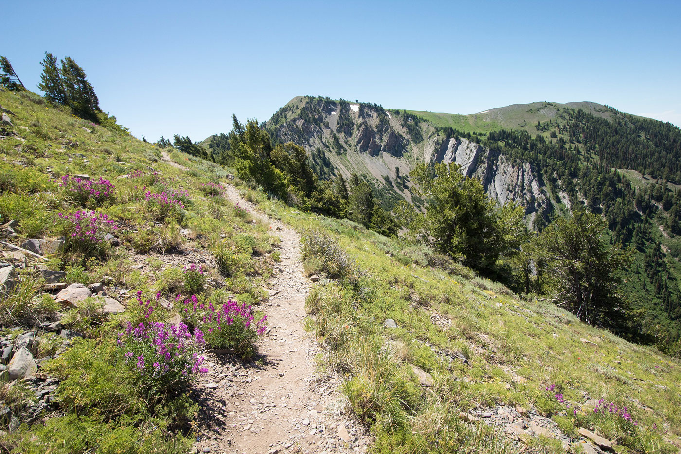
Narrow trail in some areas.
Continuing up a ridge.
Looking east the way I came.
Another photo looking back as the trail led north for a bit, working toward Stewart Pass.
The brush started getting rough. I didn't take photos of the worst of it, but this give you an idea.
Almost at Stewart Pass.
Stewart Pass. Left for Wellsville Cone.
Continuing along the ridge toward Wellsville Cone.
Looking back toward Stewart Pass.
A few switchbacks to gain the summit of Wellsville Cone.
Wellsville Cone summit looking south toward Box Elder Peak.
On the way to Box Elder Peak.
Almost at the summit of Box Elder Peak, looking back toward Wellsville Cone.
Box Elder Peak ahead.
Close-Box Elder Peak, view east toward Wellsville Cone.
Close-Box Elder Peak, view south toward where the Rattlesnake Canyon Trail comes from (one of the four options to ascend).
Hire me or show me some love!
Hire/refer me as a web developer or send me a few bucks if you find my site useful. I’m not sponsored, so all fees are out-of-pocket and my time preparing trip reports is unpaid. I really appreciate it!