I provide a free route map, but you can also download a hike/drive GPX to assist you and to help support my site. Before sharing my GPX tracks with others, please remember my site is a free resource and I'm charging nominal fees to offset my substantial costs.
GPX track added to your cart.
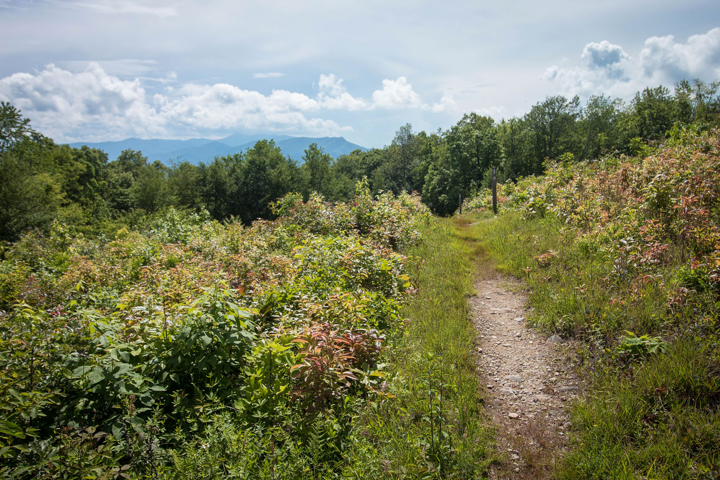
Jun 19, 2020 — I parked just across from the Appalchian Trail and headed up on a light/moderate grade to West Wildcat Top. It made for a nice forest walk with a couple of views carved out by power lines. Otherwise nothing particularly interesting to note. About 2/3 of the way up, the trail becomes wide as it follows the remains of a forest road. The summit has some pretty meadows with some views of the tops of the surrounding peaks, and some sort of human-made contraption on a big concrete surface.
Please consider helping me out if you find my site useful. I'm not sponsored, so all site fees are out-of-pocket and my time preparing these trip reports is unpaid. You can also hire me as a web developer. I really appreciate it!


If you find my site helpful, please help me replace my many broken cameras, fund my website fees (hosting, APIs, security), or just support my countless hours of work. I pay for all expenses myself, and all trip reports I post are unpaid and unsponsored, so any support is really appreciated!
If using PayPal, please select their option for "Sending to a friend" so they don't take out fees, thank you.
My site is free to use, but consider sending me a few bucks to help keep it running. Thanks in advance!