stav is lost logo
  • Find Hikes
    • Most recent
    • Trip Report Index
    • Hikes by Region
    • Search Hikes
  • Map
  • About
  • Love
Hike White Rock Gap and Torry Ridge Loop in George Washington National Forest, Virginia - Stav is Lost

Hike White Rock Gap and Torry Ridge Loop George Washington National Forest, VA

Class 1 9.7 miles 1900 gain 4-6 hrs Loop
Effort
Beauty
Personality
Solitude
DirectionsRoute MapDownload GPX

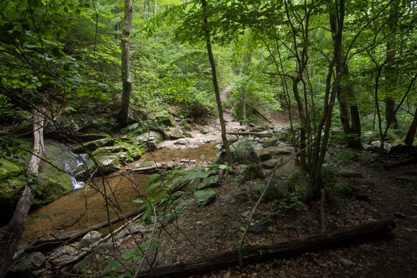
Jun 24, 2018 — There are three places you can start this hike, but I chose the White Rock Gap Trailhead. From here, take the White Rock trail to Sherando Lake, a busy campground and lake that you can't go in, and locate the Blue Trail that leads you up to Torry Ridge. Follow this to the Slacks Trail, and leave the Slacks Trail when you get close to the road (there is an obvious social trail that goe soff to the right). From the road, locate the White Rock Falls Trail across the street and follow it back to the trailhead where you started, passing a couple of nice overlooks and a small waterfall.

Show me some love

Please consider helping me out if you find my site useful. I'm not sponsored, so all site fees are out-of-pocket and my time preparing these trip reports is unpaid. You can also hire me as a web developer. I really appreciate it!

Thank you

Next HikePrev Hike
  • Next Hike
  • More Near Here
  • Prev Hike
photo protector Starting from the White Rock Gap Trailhead.
Starting from the White Rock Gap Trailhead.
photo protector No caption.
photo protector Walking along North Fork Back Creek along the White Rock Gap Trail.
Walking along North Fork Back Creek along the White Rock Gap Trail.
photo protector No caption.
photo protector Upper Sherando Lake comes into view along the White Rock Gap Trail.
Upper Sherando Lake comes into view along the White Rock Gap Trail.
photo protector Junction with some forest road.
Junction with some forest road.
photo protector Entering the campground.
Entering the campground.
photo protector Approaching Sherando Lake.
Approaching Sherando Lake.
photo protector Sherando Lake. Turn left.
Sherando Lake. Turn left.
photo protector Heading up the Blue Trail, which links you up to Torry Ridge. This is the steepest section of the day.
Heading up the Blue Trail, which links you up to Torry Ridge. This is the steepest section of the day.
photo protector No caption.
photo protector Overlook at Sherando Lake below.
Overlook at Sherando Lake below.
photo protector Along Torry Ridge.
Along Torry Ridge.
photo protector No caption.
photo protector Views along Torry Ridge.
Views along Torry Ridge.
photo protector No caption.
photo protector Along Slacks Trail.
Along Slacks Trail.
photo protector Leave the Slacks Trail to get to the Slacks Trail parking area. Cross the street and find the White Rock Falls Trail.
Leave the Slacks Trail to get to the Slacks Trail parking area. Cross the street and find the White Rock Falls Trail.
photo protector No caption.
photo protector An overlook along the White Rock Falls Trail.
An overlook along the White Rock Falls Trail.
photo protector No caption.
photo protector White Rock Falls.
White Rock Falls.
photo protector No caption.
photo protector Briefly follow White Rock Creek.
Briefly follow White Rock Creek.
photo protector No caption.
photo protector Continuing along the White Rock Falls Trail through the woods.
Continuing along the White Rock Falls Trail through the woods.
photo protector No caption.

Show Me Some Love

If you find my site helpful, please help me replace my many broken cameras, fund my website fees (hosting, APIs, security), or just support my countless hours of work. I pay for all expenses myself, and all trip reports I post are unpaid and unsponsored, so any support is really appreciated!

If using PayPal, please select their option for "Sending to a friend" so they don't take out fees, thank you.

PayPalVenmoCash App

About  Contact  Love

© 2023 Stavros Basis.

DISCLAIMER: All activities you find on this site are dangerous. I am not responsible for anything you do in the outdoors. Please practice good ethics, and don't take any risks that put yourself or others in danger.


Thanks for visiting!

My site is free to use, but consider sending me a few bucks to help keep it running. Thanks in advance!

Sure!Nope.