

Lovely view from the trailhead.
Starting along the Crest Trail.
Nice recently-cleared trail for the first few miles.
A section of live forest.
The Crest Trail wraps around Willow Mountain's northern slopes, slowing gaining elevation.
Looking back. Lots of cleared trees, thank you.
At the saddle to the southeast of Willow Mountain. The trail ascends for a bit to a minor hump between Willow Mountain and Whitewater Peak. I entertained the idea of hiking up to Willow Mountain, but the deadfall would have been rough.
Looking back toward Willow Mountain as I ascend to a small hump between Willow and Whitewater Baldy.
On the small hump, view toward Whitewater Baldy.
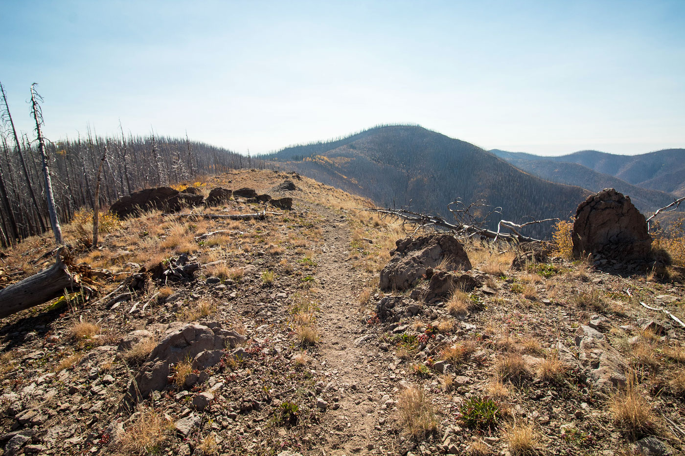
Looking back as I continue along the hump's crest.
View toward the Gila peaks to the southwest. Holt Mountain top right, Sacaton top left (I believe).
The trail became no longer maintained. Whitewater Baldy visible top left, still a bit away.
The deadfall was a bit tedious. The trail wraps around a second bump along the ridgeline.
And there were some more clear sections, fortunately.
Hummingbird Saddle. You can see an old trail sign for the Whitewater Trail.
From Hummingbird Saddle, I left the Crest Trail and headed up to Whitewater Baldy. This is what you can expect to encounter.
Looking back toward Willow Mountain (center) and Whitewater Creek (left).
Ascending to Whitewater Baldy.
Approaching the summit.
View toward Mogollon Baldy (top center) from Whitewater Baldy's summit.
View toward Sacaton and and Holt.
Hire me or show me some love!
Hire/refer me as a web developer or send me a few bucks if you find my site useful. I’m not sponsored, so all fees are out-of-pocket and my time preparing trip reports is unpaid. I really appreciate it!