I provide a free route map, but you can also download a hike/drive GPX to assist you and to help support my site. Before sharing my GPX tracks with others, please remember my site is a free resource and I'm charging nominal fees to offset my substantial costs.
GPX track added to your cart.
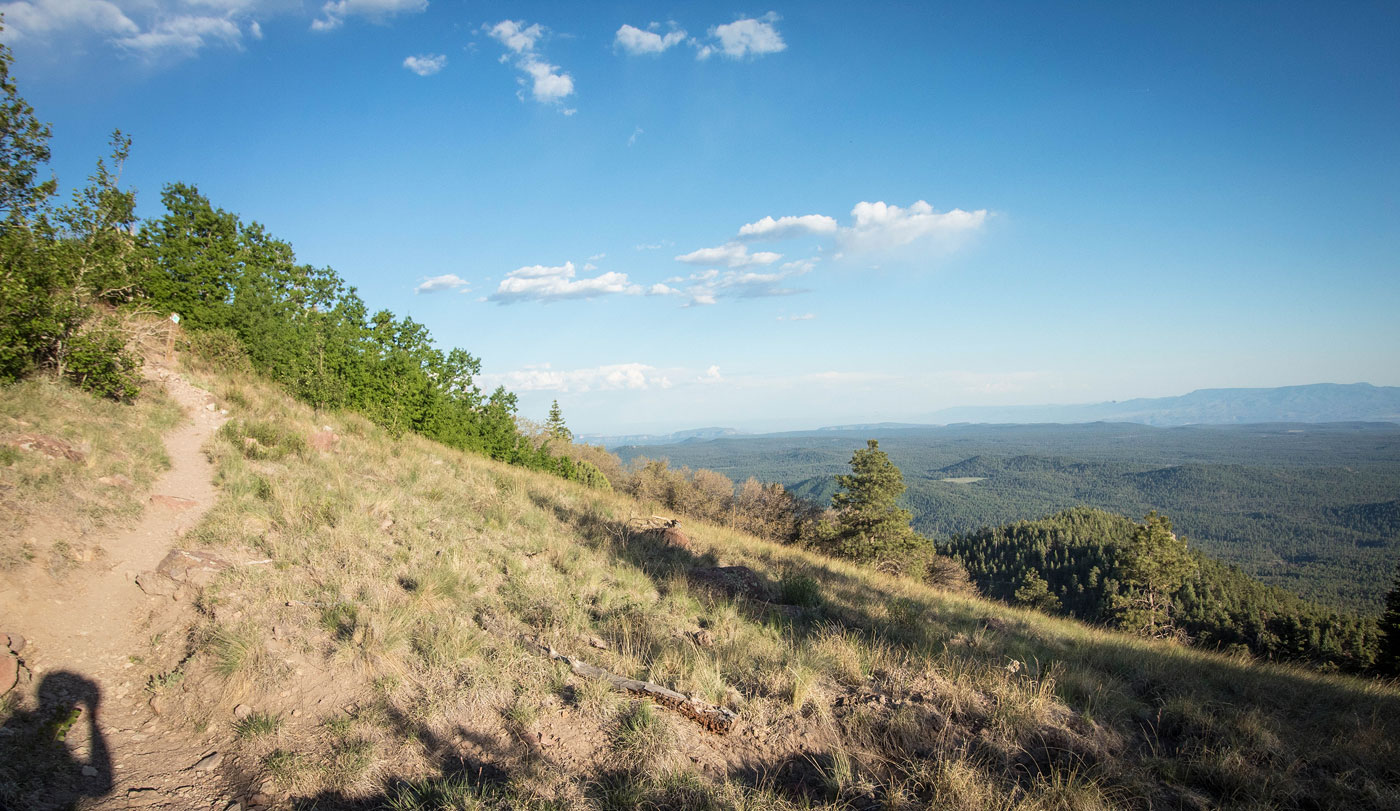
May 29, 2020 — Bill Williams Mountain is a nice hike on a fairly popular trail the whole way to the summit. Located just off I-40, it's really conveniently accessed. The trail is forested for pretty much its entirety, but as the train enters the drainage coming down from the summit the landscape becomes more lush and interesting. Around the last half mile, the trail crosses the summit access road and introduces some nice views as the trail leads through a small meadow. The last bit of the hike follows the dirt acces road to the summit, where there are radio towers and a decent view.
Please consider helping me out if you find my site useful. I'm not sponsored, so all site fees are out-of-pocket and my time preparing these trip reports is unpaid. You can also hire me as a web developer. I really appreciate it!


If you find my site helpful, please help me replace my many broken cameras, fund my website fees (hosting, APIs, security), or just support my countless hours of work. I pay for all expenses myself, and all trip reports I post are unpaid and unsponsored, so any support is really appreciated!
If using PayPal, please select their option for "Sending to a friend" so they don't take out fees, thank you.
My site is free to use, but consider sending me a few bucks to help keep it running. Thanks in advance!