I provide a free route map, but you can also download a hike/drive GPX to assist you and to help support my site. Before sharing my GPX tracks with others, please remember my site is a free resource and I'm charging nominal fees to offset my substantial costs.
GPX track added to your cart.
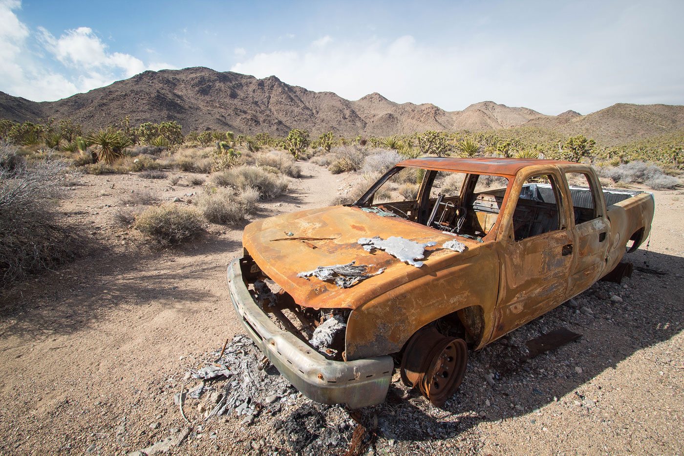
Jan 21, 2022 — Adalac Benchmark is the high point of the Lucy Gray Mountains, south of Las Vegas. Despite its proximity to the city, I've held off on this one for a while because I thought the road to reach it was horrible. Ultimately I didn't have any trouble, but it was nice to engage 4WD to get through some of the deeper sections of sand. To get to my trailhead, after heading east out of Jean, head south here (35.7760705, -115.316757) and follow this paved, then mostly well-graded dirt road. Turn left here (35.655261, -115.265640), then right here (35.6568039, -115.262103), where the road deteriorates, and then continue south and park on the side of the road.
I started up the eastern spur ridge of Adalac Benchmark, which was mostly just a steep slope with an occasional short section of Class 2. I made quick work up the slope, scared an incoming storm would head my way. I wrapped around a false summit just before Adalac, but it would likely have been better to just go up and over because of the somewhat tedious side-hilling. Class 2 boulder-hopping led to the summit of Adalac Benchmark.
I dropped off the peak and started north toward Calada Peak (Adalac spelled backward). On a topo map this ridge looks like it would be difficult, but ultimately it was only Class 2, and for the most part was easy walking. Although there were two major bumps along the ridge that added vertical gain, I found it to be a pleasant traverse overall. I kept to the ridge crest for its majority, keeping left at times to avoid rocky parts along the crest. A final drop to the saddle on the south side of Calada Peak required either Class 3 boulder-hopping if going direct, or an easy Class 2 slope descent if staying slightly to the east.
Another steep slope with a couple Class 2 sections led up the south ridge of Calada Peak, with a Class 2+ bit toward the summit. I dropped back down to the southern saddle and decided my best bet for returning to my car would mean side-hilling on the slopes and dropping into a couple of drainages before finding a pleasant wash that took me back. This was the least pleasant part of the day because the brush was a little annoying, but it wasn't too tedious and I got out of it quickly enough. The final wash led back to the road I drove in on, which I followed to my car.
Please consider helping me out if you find my site useful. I'm not sponsored, so all site fees are out-of-pocket and my time preparing these trip reports is unpaid. You can also hire me as a web developer. I really appreciate it!


If you find my site helpful, please help me replace my many broken cameras, fund my website fees (hosting, APIs, security), or just support my countless hours of work. I pay for all expenses myself, and all trip reports I post are unpaid and unsponsored, so any support is really appreciated!
If using PayPal, please select their option for "Sending to a friend" so they don't take out fees, thank you.
My site is free to use, but consider sending me a few bucks to help keep it running. Thanks in advance!