I provide a free route map, but you can also download a hike/drive GPX to assist you and to help support my site. Before sharing my GPX tracks with others, please remember my site is a free resource and I'm charging nominal fees to offset my substantial costs.
GPX track added to your cart.
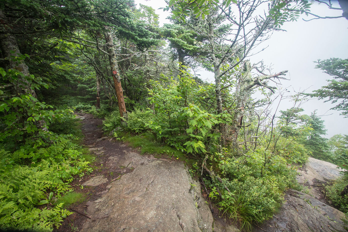
Jul 19, 2021 — I haven't hiked in the Catskills in a long time, so it was really pleasant to get into an area I used to visit when I lived in the northeast. Black Dome eluded me back then, but it's a major prominence peak for Catskill standards. It's best looped in with Blackhead Mountain, which is a fun little peak to add on. These comprise the two taller peaks in the Windham Blackhead Range. I did the loop counter-clockwise (which is how I'll report the hike below), but I'd recommend doing Blachead Mountain first because its east ridge is very steep and would be more fun to scramble up rather than down.
The Big Hollow Road Trailhead is easily accessible by any car. I started along the red blazed trail (wow it's nice to have blazes for a change). After a couple of bridge crossings, I kept right at a junction and followed the red trail to the saddle separating Blackhead Mountain from Black Dome, then started up Black Dome's steep east ridge. Along the way there was one scenic overlook that would have given me a view of Blackhead to the west if it wasn't foggy. It had some short, enjoyable Class 2 sections along the trail. The summit was uneventful, no views and your typical northeast hump whose true high point is difficult to determine.
I headed back to the saddle and started up Blackhead Mountain along the yellow trail, one nice overlook along the trail (fog-obsctructed for me today, womp). This ascent was less steep than to Black Dome. Just past the high point, a junction pointed me north along the blue trail, which descended a steep and rocky "trail". I love the northeast's rooty and bouldery trails that lead directly up and down peaks. They're always a fun time. Like I mentioned the descent from Blachead Mountain would likely be more enjoyable as an ascent instead. The trail continued to a junction, where I kept left onto the yellow trail, passed a shelter, and met back with the first junction.
Please consider helping me out if you find my site useful. I'm not sponsored, so all site fees are out-of-pocket and my time preparing these trip reports is unpaid. You can also hire me as a web developer. I really appreciate it!


If you find my site helpful, please help me replace my many broken cameras, fund my website fees (hosting, APIs, security), or just support my countless hours of work. I pay for all expenses myself, and all trip reports I post are unpaid and unsponsored, so any support is really appreciated!
If using PayPal, please select their option for "Sending to a friend" so they don't take out fees, thank you.
My site is free to use, but consider sending me a few bucks to help keep it running. Thanks in advance!