

From the Bullion Pasture Trailhead, I headed directly up the northwest ridge of Peak 11420.
Peak 11420, view toward the traverse to come. I headed down along the ridge from here to get to the trail below. FYI, the colorful purple/white mountain in the center is Peak 1163. Copper Belt Peak won't become visible until I get to the summit of Peak 1163 since it's significantly lower.
Close-up as I descend from Peak 11420. Even though this photo is blurry, you can see the trail below left of center.
Along the trail, view back toward Peak 11420 (far left).
Along the trail, avoiding a rock outcrop. I left the trail shortly after this point to head up to the bump visible left of center. It required some Class 2+, but you could also just skip the bump.
Class 2 along the ridge crest, avoidable.
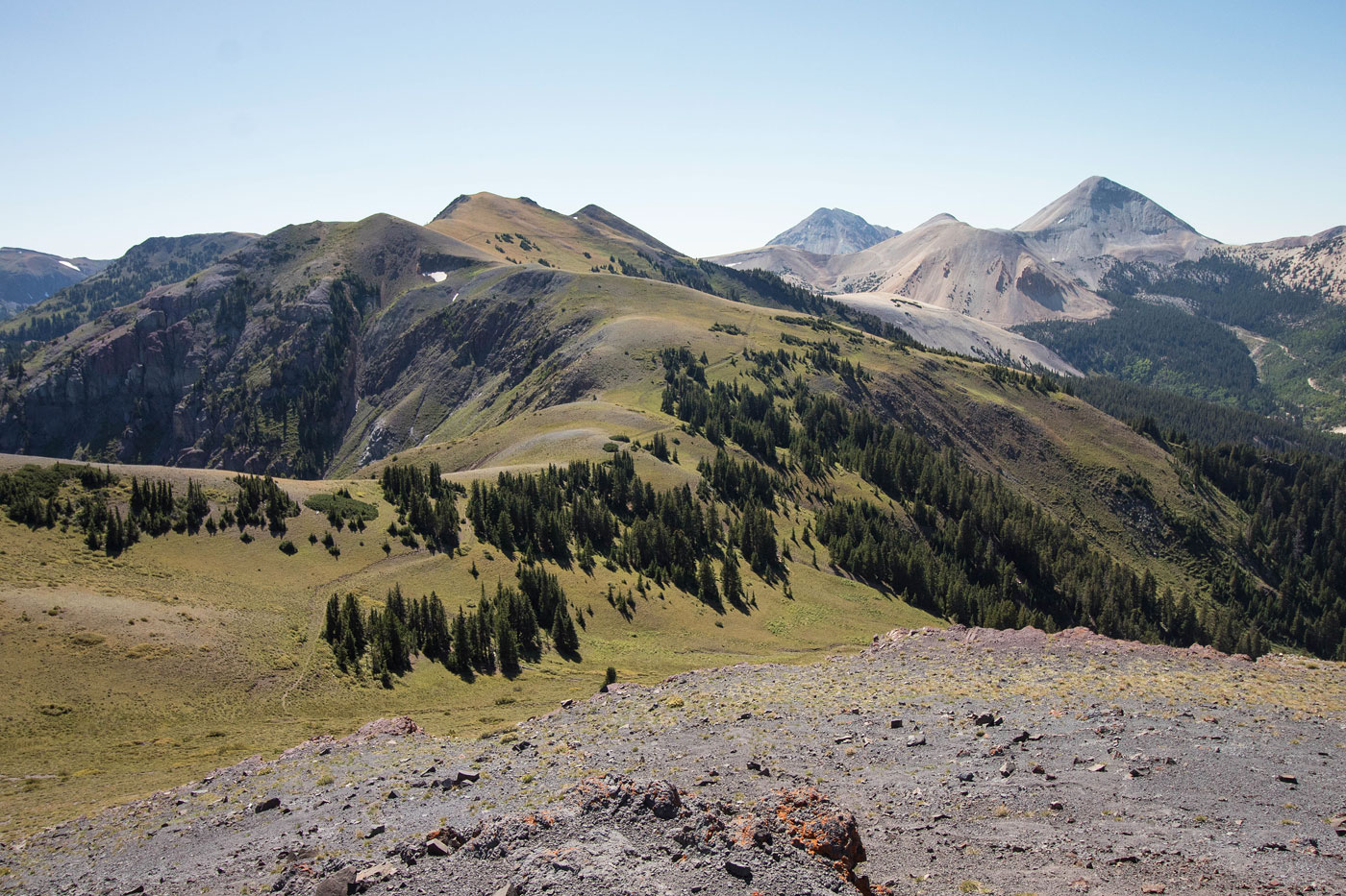
View back the way I came from the bump. Peak 11420 far left. Mount Baldy (center) and Mount Belknap (right) also visible.
Peak 11593 top right, seen from the bump. Class 2+ to get down from the bump, avoidable.
Close-up toward Mount Belknap and Gold Mountain, plus a cute little pond below. You can see the trail I'll be returning on next to the pond.
Ascending to Peak 11593.
Peak 11593, view south toward Delano and Brigham.
Onward from Peak 11593 to Peak 11635, right of center.
Along the ridge crest, some Class 2.
View back toward Peak 11593 past the Class 2.
Back on the trail, which I'd follow the rest of the way. This is a view toward Belknap and Baldy.
Along the trail, headed toward Peak 11673.
View back along the ridge toward Peak 11593, center.
Summit of Peak 11673, view northeast toward Copper Belt Peak, center.
View toward Belknap and Baldy.
Along the ridge, following the trail when available.
View back toward Peak 11673. A road wraps around the peak. It will be tempting to follow it on the way back, but don't - it descends away from the ridge.
Continuing my descent to the base of Copper Belt Peak, visible right of center.
View back along the ridge again, where I picked up the old road, which took me to the base of Copper Belt Peak.
Copper Belt Peak ahead.
Close-up of Copper Belt Peak. I left the old road and ascended to the summit by reaching the low point on the ridge in the center of this photo.
Just below the summit of Copper Belt Peak, a view back along the ridge after leaving the road (visible below).
Copper Belt Peak, view northeast.
Copper Belt Peak, view northwest toward Gold Mountain.
Along the trail on my way back. The ridgeline I traversed is out of frame on the left.
A shot along the trail on the way back with nice lighting.
Hire me or show me some love!
Hire/refer me as a web developer or send me a few bucks if you find my site useful. I’m not sponsored, so all fees are out-of-pocket and my time preparing trip reports is unpaid. I really appreciate it!