

Hiking along an old road that I felt better about not driving on. It seemed nearly gone. Fortification Range High Point seen right of center.
View east into the desert.
I left the road and headed west through sparsely-vegetated terrain.
I located a neat stream, which I followed.
Along the bank of the stream.
I though this was a unique little spot.
Continuing west toward the base of the peak.
View back within a clearing after leaving the stream.
I headed up a side-drainage in order to reach a minor north-running ridgeline. A Class 2 slope brought me up to it.
Some Class 2 up the slope to gain the ridgeline.
Along the ridgeline, heading north.
View back down the ridgeline.
It was usually just dirt, but sometimes had rocky portions.
Ascending the ridge.
Yeah, not that interesting. The ridge then bent to the left.
A view to the north, the more rugged and volcanic northern portion of the range seen on the left.
The high point is up there somewhere, but the ridge widens and it becomes harder to route-find.
Pretty tame terrain for the most part, but there were brush clusters I had to avoid.
Nearing the summit.
Just below the summit, a view back at the last bit of slightly more annoying terrain.
Fortification Range High Point summit seen ahead.
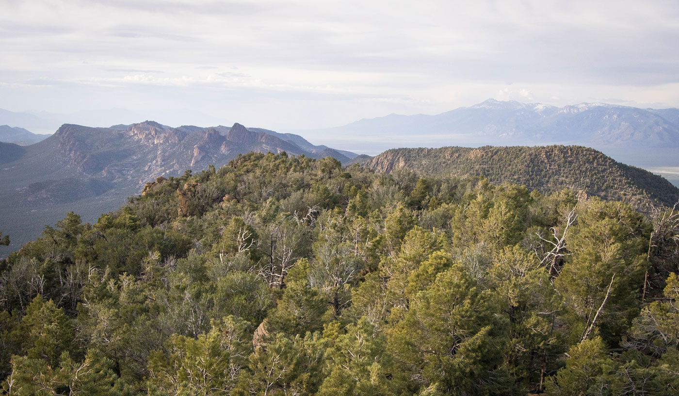
Fortification Range High Point summit, view north. Fortification Peak seen left, Snake Range on the right in the distance.
Fortification Range High Point, view west. Mount Grafton over there.
View south.
Hire me or show me some love!
Hire/refer me as a web developer or send me a few bucks if you find my site useful. I’m not sponsored, so all fees are out-of-pocket and my time preparing trip reports is unpaid. I really appreciate it!