

At the junction where I parked. I headed along the road on the left.
Views along the road.
Nearing the end of the road, Gold Mountain seen ahead.
Close-up of the ridgeline to Gold Moutain.
View back toward the end of the road (center).
Continuing along the ridgeline.
View back along the ridgeline at a short Class 2 section.
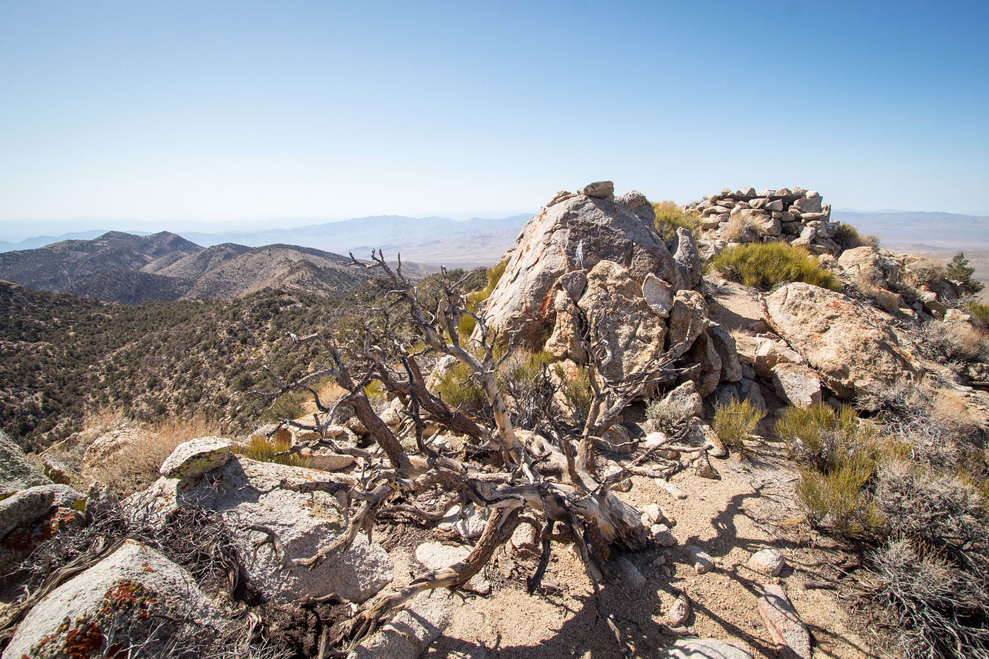
Summit ahead.
View back from near the summit of Gold Mountain.
Some light Class 2 below the summit.
Gold Mountain summit, view west.
Gold Mountain summit, view east.
Gold Mountain summit, view north toward the Gold Point ghost town (too far away to be visible).
Hire me or show me some love!
Hire/refer me as a web developer or send me a few bucks if you find my site useful. I’m not sponsored, so all fees are out-of-pocket and my time preparing trip reports is unpaid. I really appreciate it!