I provide a free route map, but you can also download a hike/drive GPX to assist you and to help support my site. Before sharing my GPX tracks with others, please remember my site is a free resource and I'm charging nominal fees to offset my substantial costs.
GPX track added to your cart.
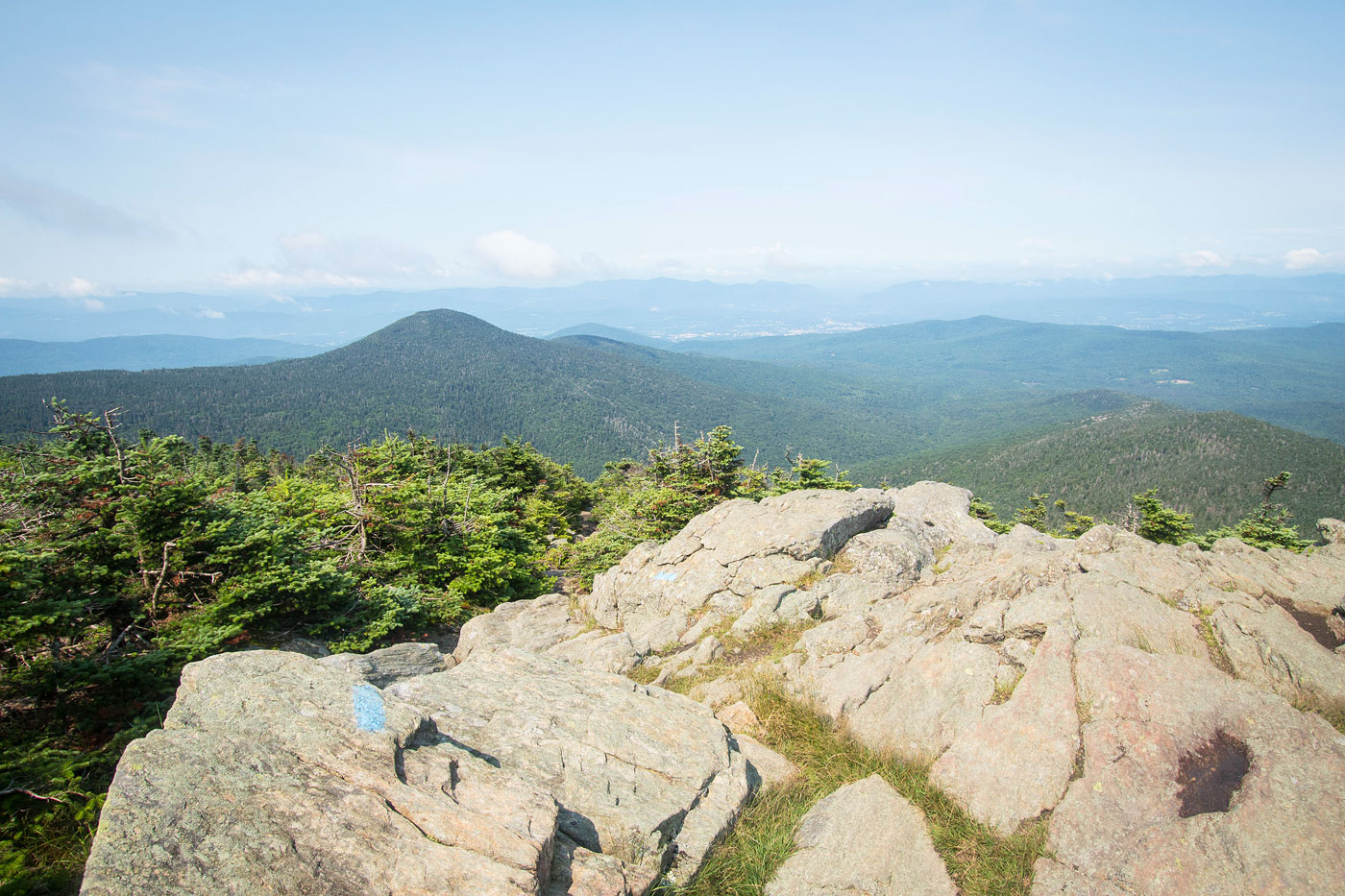
Jul 22, 2021 — We started at the popular Bucklin Trailhead, accessible by any vehicle. The trail wanders through the forest for a while and passes over a couple of bridges as it follows Brewers Brook. A sign points to Irene Falls, a short detour from the main trail. Just past here the Bucklin Trail begins ascending steeply to an old cabin/building. Past the cabin, the Bucklin Trail introduces some light Class 2 for a the last few hundred feet to the summit. Just below the summit the trail emerges from the trees and there are some great views.
Please consider helping me out if you find my site useful. I'm not sponsored, so all site fees are out-of-pocket and my time preparing these trip reports is unpaid. You can also hire me as a web developer. I really appreciate it!


If you find my site helpful, please help me replace my many broken cameras, fund my website fees (hosting, APIs, security), or just support my countless hours of work. I pay for all expenses myself, and all trip reports I post are unpaid and unsponsored, so any support is really appreciated!
If using PayPal, please select their option for "Sending to a friend" so they don't take out fees, thank you.
My site is free to use, but consider sending me a few bucks to help keep it running. Thanks in advance!