

View from the trailhead toward Lizard Peak. We took the trail on the left, which led into a wash.
A sign points out of the wash and onto the Lizard Peak Trail.
A short detour to "Lizard Geoglyph".
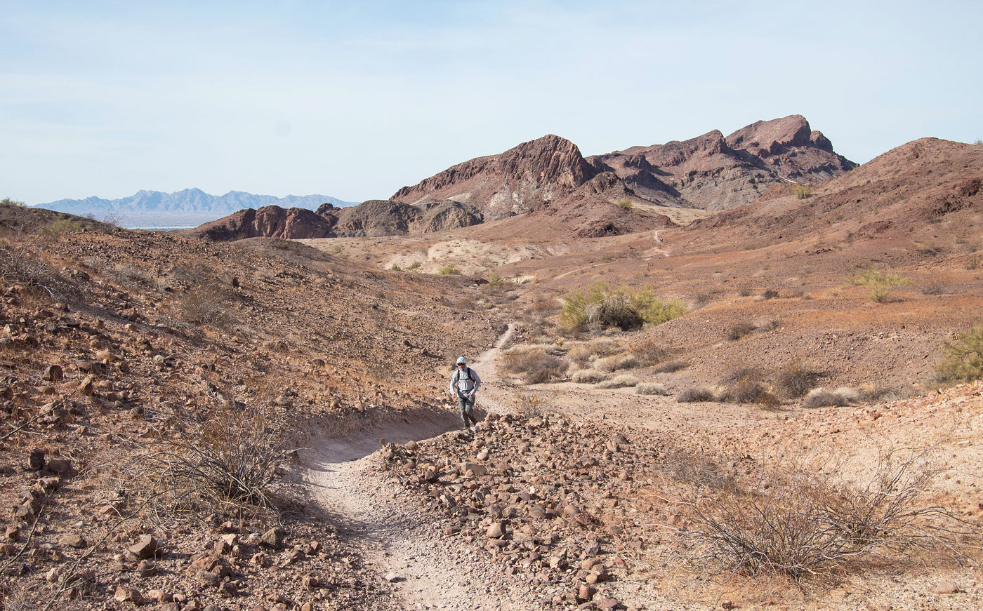
View back along the Lizard Peak Trail.
The trail wraps beneath the cliffs.
A short Class 3 section along the Lizard Peak Trail.
More wrapping along the cliffs, now above, to reach the saddle visible on the left.
View back from the saddle.
At the saddle, view at the trail leading up the north ridge of Lizard Peak, Class 2.
Summit of Liard Peak, view toward the saddle we came up from (left) and Lake Havasu City in the distance. Crossman Peak also visible up top.
Starting down the south side of Lizard Peak. You can see the other little peaks on the left of the Aubrey Hills we hoped to go for today.
Very pretty trail. Our next summits visible center.
View back up toward Lizard Peak.
Very nice trail on the south side of Lizard Peak.
The trail drops down into the wash below.
Dropping down to the mouth of SARA's Crack.
SARA's Crack, a pretty little slot canyon.
Remains of some old ladders, now more of an obstacle than a help.
View back down SARA's Crack.
A short section with a rope if you need it.
View back at the head of SARA's Crack.
Continuing through the wash.
We left the previous wash leading to SARA's crack, ascended a short hill, and picked up a mountain biking trail.
Along the trail.
Peak 1379 right of center. Ultimately we wouldn't be able to summit that one.
View back, Lizard Peak visible top right.
Peak 1379 ahead.
We left the trail here to ascend to Peak 1379, visible top. Alternatively, stick to the wash in the center and follow it to reach the Water Tank. I left both options visible on my attached map.
Approaching Peak 1379 from the west. We wrapped around it on a trail.
East side of Peak 1379. The only viable option we saw was on the far left in this photo, but it was ultimately too scary.
We dropped down to this Water Tank.
Close-up of the cool formations to the east.
View back again after picking up another trail.
Peak 1240 comes into view.
Ascending Peak 1240. Peak 1379, our failure *cries*, visible top center. We came from a trail within the valley on the left in this photo. The Water Tank is somewhere top left in this photo.
Fun Class 2/3 to wrap around to the east side of the peak.
Peak 1240's Class 3 chute.
Fun scrambling.
View back down the Class 3 chute.
Ridgeline to the summit of Peak 1240.
Peak 1240 summit, view east.
A mountain biking trail wraps around Peak 1240's north side and continues west. I recommend following it and finding a better way back to the trailhead. We just descended to the right into the wash below, followed a couple of washes back to a trail and then the trailhead.
View back toward the Aubrey Hills before reaching the trailhead.
Hire me or show me some love!
Hire/refer me as a web developer or send me a few bucks if you find my site useful. I’m not sponsored, so all fees are out-of-pocket and my time preparing trip reports is unpaid. I really appreciate it!