

Loafer Mountain Trailhead, Loafer Mountain seen behind the trees.
Along the well-traveled trail.
The trail is mostly flat to start, with some minor ups and downs.
Loafer Mountain above. The trail curves to the left, following the slopes and ascending slowly.
A trail junction. There is normally a way to make this hike a loop, but the eastern side of that loop was closed.
Along the Loafer Mountain Trail, ascending slowly on the slopes below the peak.
Looking back, the trailhead is somewhere on the right behind that hill.
The trail eventually meets the southwest ridge.
Starting up along the southwest ridge, which was more steep than the trail had been so far.
Looking back as I ascend the ridge.
Continuing along the ridge.
Approaching a nice lookout point, center.
Looking back from just below the lookout point.
At the lookout point, a campfire visible on the right. Santaquin Peak and Loafer Mountain seen left. This was the first glimpse of them I got so far.
Looking back as I continue along the ridge. The lookout spot is below the hill on the left.
Ascending on-and-off of the ridge. The trail took the most convenient route.
Looking back, lots of wildfire haze.
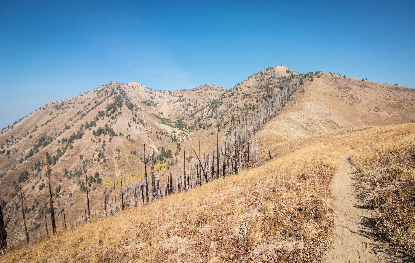
Along the Loafer Mountain Trail, the peaks visible ahead. There is one minor bump along the trail that adds some vertical gain, seen far right.
Loafer Mountain right, Santaquin Peak left.
Looking back along the trail. I came from the ridge on the left.
I continued away from the Loafer Mountain Trail on this social trail to Loafer Mountain. The official trail is on the left out of frame.
Looking back along the social trail.
Loafer Mountain summit ahead.
Loafer Mountain summit, view toward Santaquin Peak. You can see how steep the descent is to get down to the trail from here. I recommend backtracking a little until the terrain is less steep.
On the Loafer Mountain Trail, headed to Santaquin Peak.
Looking back at the steep descent from Loafer Mountain.
Santaquin Peak ahead.
Looking back, you can see Loafer Mountain on the left and the ridge where the trail lies on the right.
Santaquin Peak ahead.
Santaquin Peak view toward Loafer Mountain.
Santaquin Peak view toward Loafer Mountain (left) and the ridge the trail came in on (top right).
Santaquin Peak.
Hire me or show me some love!
Hire/refer me as a web developer or send me a few bucks if you find my site useful. I’m not sponsored, so all fees are out-of-pocket and my time preparing trip reports is unpaid. I really appreciate it!