I provide a free route map, but you can also download a hike/drive GPX to assist you and to help support my site. Before sharing my GPX tracks with others, please remember my site is a free resource and I'm charging nominal fees to offset my substantial costs.
GPX track added to your cart.
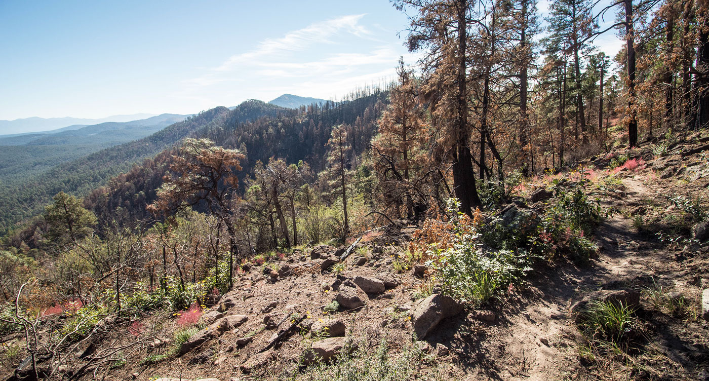
Oct 15, 2020 — I didn't know it at the time of doing this hike, but Tadpole Ridge had burned a few months before I got here. This was clear about a mile into the hike, but the trail was still in great shape. After some pretty forest walking and some moderate elevation gain, I made it to the ridgeline where there were some really nice views of the surrounding area, including toward Signal Peak. The trail mostly keeps off the ridge crest, instead side-hilling on its northern slope. The last hundred feet of the hike is off-trail to find the high point. I considered continuing along the ridge since the trail does continue, but the trail did seem a bit less obvious and I also had other peaks I wanted to hike. I was happy with the high point.
Please consider helping me out if you find my site useful. I'm not sponsored, so all site fees are out-of-pocket and my time preparing these trip reports is unpaid. You can also hire me as a web developer. I really appreciate it!


If you find my site helpful, please help me replace my many broken cameras, fund my website fees (hosting, APIs, security), or just support my countless hours of work. I pay for all expenses myself, and all trip reports I post are unpaid and unsponsored, so any support is really appreciated!
If using PayPal, please select their option for "Sending to a friend" so they don't take out fees, thank you.
My site is free to use, but consider sending me a few bucks to help keep it running. Thanks in advance!