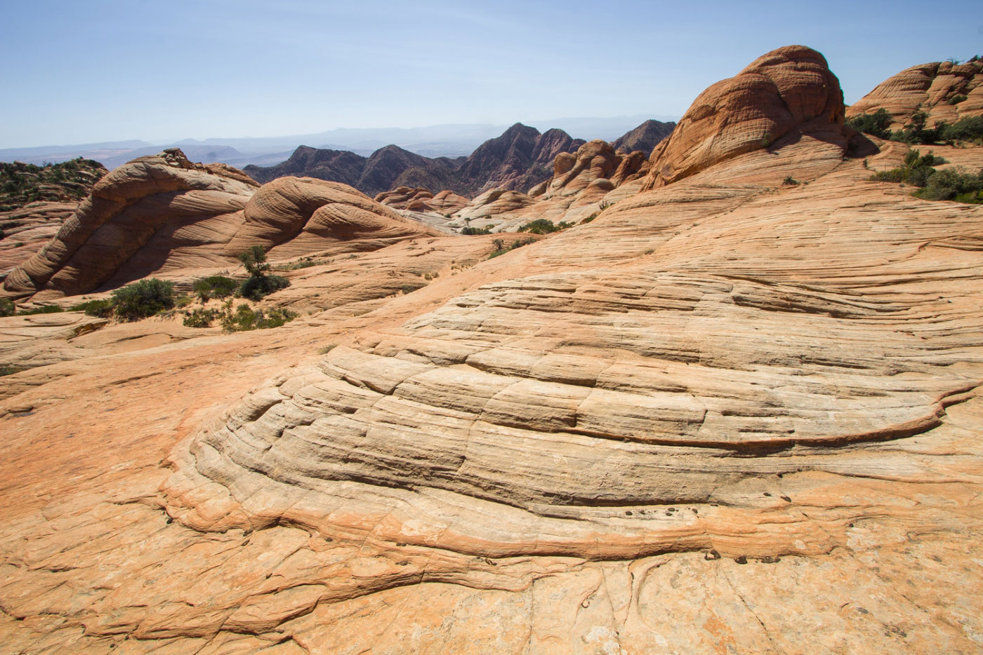
Oct 04, 2017 — After a few solid hikes on gorgeous slickrock landscapes this week, Yant Flat Cliffs seemed like a great addition with a much easier approach. An old forest road converted to trail led us south from the trailhead, which is accessible by any vehicle, though sedans might have a slightly tougher time. The hike was pretty boring for a while and slightly tedious when the road became a very sandy trail, but the view back to the north toward Signal Peak made up for it. After a bit over a mile we reached slickrock and the fun began! The Yant Flat Cliffs area is a sweeping slickrock playground at the edge of a plateau, resulting in drastic views to the south into Red Cliffs National Conservation Area. The area is open to just wandering wherever the "candy cliffs" guide you. I outlined our route in the attached map, but by no means is this an extensive look at all the cool formations there are to see. There are highlights for sure, but you could spend a lot of time checking out this unique area.
Please consider helping me out if you find my site useful. I'm not sponsored, so all site fees are out-of-pocket and my time preparing these trip reports is unpaid. You can also hire me as a web developer. I really appreciate it!


If you find my site helpful, please help me replace my many broken cameras, fund my website fees (hosting, APIs, security), or just support my countless hours of work. I pay for all expenses myself, and all trip reports I post are unpaid and unsponsored, so any support is really appreciated!
If using PayPal, please select their option for "Sending to a friend" so they don't take out fees, thank you.
My site is free to use, but consider sending me a few bucks to help keep it running. Thanks in advance!